Welcome to Part II of the epic blog instalment of our equally epic ride across the northern Argentinian Puna. By this point, we’ve been on the road for 12 days since leaving San Pedro de Atacama and crossing into Argentina via Paso Jama. We’re getting used to our heavy bikes, which are still laden with around 10 days of food and up to 3 days’ water at a time. Our bikes and bodies are dusty and most of our daily routine revolves around waking up before sunrise and getting on the road early to avoid the fierce afternoon winds, finding some short of shelter to camp behind, managing our water supply and not over eating our daily rations of trail mix.
We pick up where we left off at the abandoned sulphur mine at La Casualidad and head into the real crux (and sand) of the Seis Miles Norte route.
Day 12, 35km, Mina La Casualidad to Epic Camp Spot POI
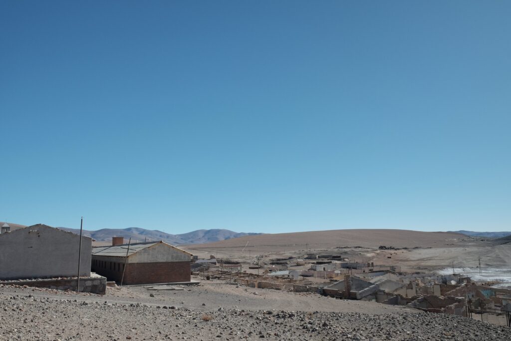
A short day was probably just what the very exhausted volcano summitting Liam Glen needed! We knew from the Highlux blog that the route would get significantly harder after tonight’s camp, so we were grateful for any additional rest. A very sandy, steep descent towards the Salar Rio Grande was a taste of things to come! We met a few miners at the bottom who checked that we were ok for water. Later some more miners passed us in a 4×4 and told us that this was a private road (unlikely, seeing as it’s the only road between Antofalla and La Casualidad). They were happy for us to ride on but insisted that we be careful and then said something about smugglers which we couldn’t quite understand. If you missed Part I (then what are you doing, go back and read it!), lithium mining has exploded in this region because of the high mineral reserves in the salt flats. The miners are friendly and sometimes give us biscuits, but the Puna is certainly much less empty than it used to be.
After the salar, we got our first taste of sandy, slow riding. Dust caps were unscrewed and tyre pressures were lowered. Thankfully it was flat and was useful practice to sharpen our sand riding skills for the days ahead.
The epic camp spot indicated by a POI in the route file was cool with large, overhanging cliffs offering some shade in the middle of the day, as well as much coveted wind protection. After lunch we walked over to the little stream opposite where we quickly de-robed to rinse ourselves and our clothes. Liam even managed his first river shave! Next level dirtbag achievement unlocked.
From the top of a sand dune Liam said he could see a small miners’ camp around the corner from our camp spot, so mid afternoon we decided to walk over and see if we could glean any information about a possible shortcut to Laguna Pocitos. Last year a rider called Hans de Neve had spied tyre tracks going south and it certainly would make sense, given the lay of the land, instead of the route taken by the gpx which takes a longer, higher way around past Volcan Antofalla.
The miners were friendly, although they didn’t sound very convincing regarding the presence of this shortcut. However, what they lacked in convincing information was more than compensated for by plying us with biscuits and letting us use their wifi. Liam’s granny had been really unwell, so we appreciated being able to check in with family and send our love. The miners were a very international bunch, some Argentinians, a Belarusian, a Cypriot and a few Ukrainians. It was small camp – they were prospecting for possible sites and gathering information on the area. They invited us back for dinner, but Argentinian dinner time starts at around 9.30pm and we politely declined saying we would already be in bed! They gave us some crackers and oranges for the road. We filled up with water at the stream here with enough to keep us hydrated all the way to Potrerillo Creek in 3 days’ time.



Day 13, 13.8km, Epic Camp Spot to Refugio at Salar Archibarca
Words fail me. We knew that the route would get harder after the cliff spot camp but never imagined it would be quite as hard as what we encountered!
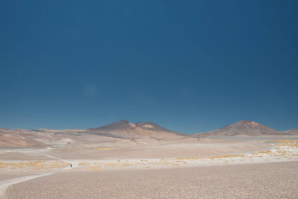
We tried out the possible shortcut after meeting a 4×4 with a driver who was very confident that there was a track. It was very tough, relentlessly pushing our bikes up deep sandy dunes in the hot sun. Just before lunch, when it was clear that the route was never going to be more than a couple of feint, unrideable jeep tracks in the sand, we decided to cut our losses and head back to the main route. Perhaps it’s passable with a 4×4, but it seemed irresponsible to continue on two wheels. Once we rejoined the route, the climb over to the next salar was short and brutal. Our arms and backs were already tired from the mornings’ exploits and the day was only getting hotter. Even with low tyre pressures, we were all pushing – yep this wasn’t even rideable on 4 inch fat bike tyres on 58mm rims(Annie’s setup)! It’s also worth explaining, for those uninitiated into the sadistic world of hike-a-bike, that pushing a bike with panniers is much harder than pushing a bike without panniers -the panniers get in the way of exactly where you would like to stand to push, forcing you to adapt your technique and get your back involved. Its less efficient and all that heaving and twisting wears you out surprisingly quickly.
The descent on the other side was rough and rolling as it weaved through lava fields, with plenty of steep kickers to steal your momentum and get you pushing again. When I asked, ‘Are we there yet?’, Annie’s response was to dig out her emergency fizzy worms. Dire times. We were all so tired and the track seemed to have been designed specifically to be the most inefficient way of getting from A to B, so we called it a day a little earlier than we had planned. The downside of this was that we had been hoping to get some of the 5,000m pass done that day (ha!). Having to tackle the whole thing in a one-er meant only one thing… 5am alarms.
The route file indicated another small miner camp at Salar Archibarca, but while there were some cabins there, everything was locked and there were no signs of miners. As such, we would not recommend relying on this site for water!
At the refugio, we had a little inspection of my rear brake pads as they’d been making some peculiar noises and we all did some essential chain maintenance. No matter how tired you are, bike TLC is not optional when you’re this remote and reliant on your 2 wheeled companion for forward progress. There is a small pond here but the water didn’t look great – we used it for washing and Annie filtered a little. We were glad that we’d filled up at the stream before leaving the cliffside camp spot.




Day 14, 26.8km, Refugio to Behind a Rock
‘OH MY GOD’ was all I wrote in my diary after day 14.
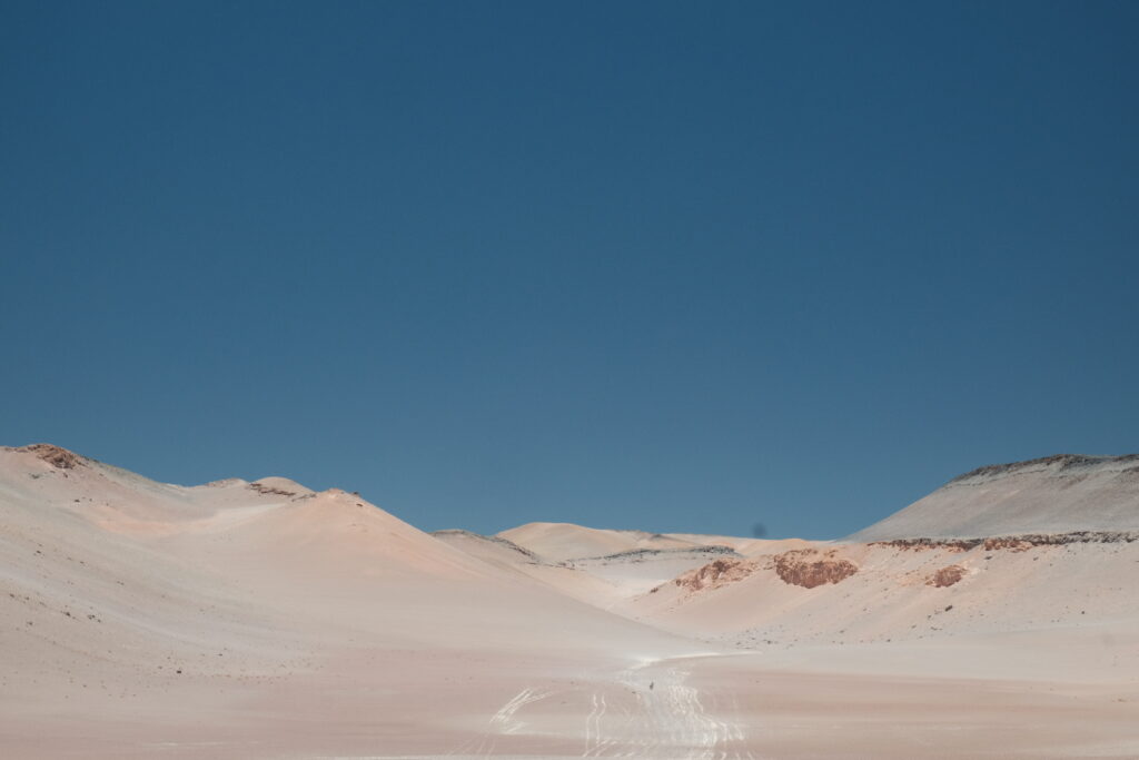
The 5,003m pass was the hardest hike a bike of all our lives. We were going for about 10 hours and didn’t even make 30km. It was -8°C when we set off and started climbing the riverbed, which is a better alternative to the road, especially when going south (uphill) on the route. Being from the UK, we all expected ‘dried up riverbed’ to be full of loose, round rocks and a bit of a challenge to ride, but thankfully, it was just cracked, dried mud and quite pleasant. Sadly, it didn’t go half as high up the climb as any of us wanted and we were back on loose, barely rideable sand-gravel before we knew it! It rejoined the road at Antofalla ‘base camp’ and we were still so far from the pass! The climb flattened off for a while but it was so loose that it wasn’t easily rideable and we (I) may have got a little competitive at who could manage to ride certain sections..!
The last 400m of elevation were not just unrideable, it was the slowest, most energy sapping experience of my life. Even Liam had his head in his hands at the side of the track. With our tyres and our feet just sinking through the sand it was so hard to make any forward progress. Annie was also pushing on her fat bike, although her wider tyres made her bike easier to push as it floated much better on the sand. Liam helped me to push my bike and then all three of us pushed Liam’s bike over the final steep pitch of the pass before finding questionable wind shelter behind a rock a few 100m of elevation down the other side.
At camp that evening I was wondering how I’d managed to underestimate this route so badly. All of us were in shock at how hard the day had been and had to mentally reset ourselves for a new day tomorrow. We had assumed that, while fat bikes were recommended for the route, it would still be possible (rather than ill advisable) on regular mountain bikes.

Day 15, 50km, Behind a Rock to Potrerillo Creek
Thankfully, the wind died down, so the limited availability of wind shelter didn’t keep us awake at night. It was the coldest camp of the route (and also one of the highest) and any water not kept close to the tent had frozen solid. The advantage of the cold was that we gave ourselves a lie in, waiting until the sun was up before finishing off the descent in all our layers.
When we arrived at Laguna Patos there was no sign of the ‘short cut’ joining from the direction of the Epic Cliff Spot. We stayed high around the Salar, instead of dropping down and climbing back up, to save our exhausted legs (and arms, and backs). We climbed up and towards the next pass on a track which Liam said was much more what he had been expecting on the route, a barely visible 4×4 track through sand and rock, but rideable thanks to the substrate being quite well compacted. We noticed that there was much less water in the laguna than in Mark Watson’s photos and that some of the tracks did look like they’d had sand blown in. We concluded that conditions must be worse this year for similar reasons to why the ‘roads’ in Bolivia had been so bad: a very dry dry season and recent strong winds blowing fine sand in from the Atacama.
A short push up and over the saddle and we descended towards the next laguna, which had a lot more water in it and the little orange fluffy bodies of vicuña enjoying a paddle. We paused for lunch here before continuing onto another small pass and then down the appropriately named ‘dune of doom’. Liam flew down while I adopted the more cautious tripod riding style as I dislike steep off camber drops at the best of times!
The dune transitioned us into the most amazing valley of red rocks, cliffs of all sorts of crazy shapes and little green oases dotted around the opposite side of the canyon, all leading down to another salt flat. “This route is redeeming itself” said Liam and we enjoyed riding some rocky singletrack as our moods were lifted by our surroundings. The afternoon alternated between reasonably good but occasionally sandy double track or free styling our way through the terrain. It was nice to be pedalling again.
We made good time to the oasis at Porterillo Creek (around 3.30pm) and debated if we should camp there or head on towards the Brea winter farm. The Breas are a family who have farmed in this remote location for generations and are happy for cyclists to camp on their land with permission. We worried about imposing ourselves on them if they were in, or trespassing if they were not or had already moved to their summer camp. Concluding that we were too British and awkward to chance it, we decided to stay where we were and activated paddling mode. I’d never seen an oasis in the desert before and it was wild to see the landscape transition from inhabitable sand and rock to green reeds blowing in the wind and swallows swooping for flies.


Day 16, 19km, Porterillo Creek to Brea Summer Farm
From the creek, the track along the edge of the salar features some punchy climbs and, although the surface is generally good, our unfresh legs were glad that we hadn’t ridden this part at the end of a long day yesterday. We didn’t detour to visit the Brea winter farm which is up a narrow canyon; instead we hoped they might have moved to their summer camp early (the route file suggests they usually move in mid December) because we really did want to meet them! Partly out of fascination and curiosity at how a family can live somewhere so remote! I grew up with some friends farming some pretty hard to reach corners of Wales, but this was next level in the sticks.
As we descended down the double track, the oasis of the Brea summer camp came into view. As we got closer we could see a few bodies busy in the yard and some dogs came out to greet us. At first, we insisted that we were just stopping by and would continue on riding once we’d said hello and had a little look around. A daughter and daughter in law were very persuasive with something along the lines of ‘we know what you’ve been up to! Riding for weeks with only a tent and a thin mattress to sleep on! Stay, relax!’. We didn’t require any more persuading.
I’ve never met a more open-hearted family. We turned up as three total strangers from a far and distant land and they just took us in. We met some of the friendly orphaned llamas who had been bottle fed, ‘helped’ them heard and lasso goats and watched as two of the men processed a freshly killed sheep. Then were treated to quite possibly the best asado in all of Argentina (where BBQing is basically the national pastime). We were also invited to try a delicacy: sheep’s testicles. We’d learned from watching ‘Alone USA’ (a survival TV show based in the Canadian arctic) that testicles are an excellent source of nutrients and so devoured a few. Annie was probably quite glad for being vegetarian at this point!
The farm was absolute paradise. The matriarch, Senora Iñes, didn’t grow up on the farm but married into the family. She lives here alone now and so we were lucky to arrive on a day when family were visiting, so everyone was in great spirits. Our friends Wheelprint Stories told us that Iñes is also the reason why on there is no mining activity on this stretch, as she will not give the miners permission to drive through her land.


Day 17, 56km, Brea Summer Farm to Lava Field
Tearing ourselves away from the oasis of the Brea farm was hard, and I also I felt quite sad for leaving Senora Iñes on her own after the younger family members had left. We’ve worried quite a bit over recent years about the matriarchs in our own families being frail, elderly and isolated. Iñes isn’t frail, but she is so isolated and without her own 4×4, has limited independence out here. The Breas had allowed us to use their satellite internet to connect with our family back home and we received the sad news that Liam’s granny had passed away a few days ago.
There was a very sandy up and down from the Breas to the infamous Salar of Broken Culos. It should also be known as the Salar of Broken Spirits, because riding along the terrible surface, combined with the intense heat of the day magnified by glare and getting buffeted by strong cross winds, is enough to wear anyone down. The holes on one section were so deep that I actually ended up pushing, lest I accidentally go over the handlebars.
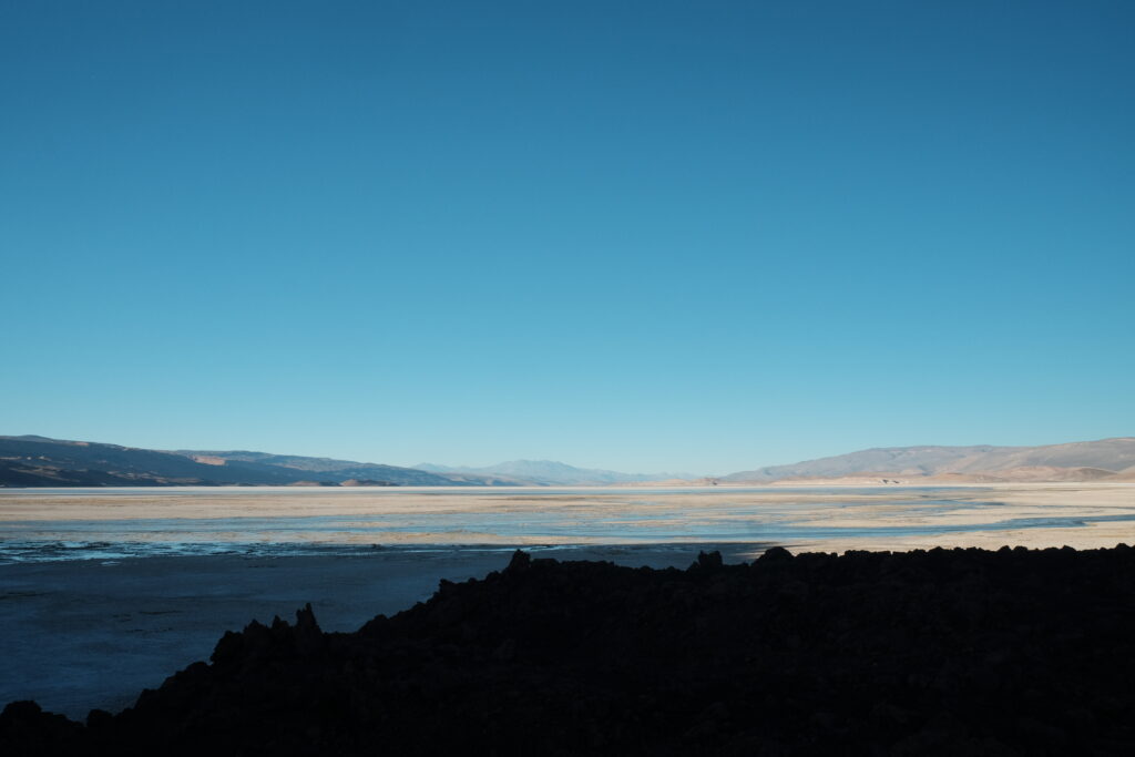
There was another possible ‘short cut’ sighted by Hans De Neve indicated before the salar. We’d asked the Breas about this and they were certain that the only road was the one across the salar, the one the gpx follows. The alternative track looked like a sorry slog up and across the sand dunes so we didn’t even entertain the idea of it, much as we would have loved to avoid the bumpy ordeal. By the time we’d crossed to the other side, I had well and truly bonked my brains out and had to deploy my emergency biscuits that I had been trying to save for the last 5,000m pass. All feeling a little fried we opted to camp in the lava field which offered good shelter instead of trying to push on a little further to where the hike to Agua Dulce starts.


Day 18, 28km (35km including the walk to Agua Dulce for water), Lava field to Volcan Peinado
We set 5.30am alarms to get up and go collect water from the spring at the abandoned estancia at Aqua Dulce. Thankfully it was one of the mildest nights in the Puna for us so far, and it was amazing to see trees growing in the canyon as we approached Vega Agua Dulce on foot. The calendar hanging in the abandoned farmhouse suggested it had been vacated around 2011, so not that long ago! We found a spot where we could access the water flowing down from the spring and proceeded to fill all our containers to capacity. It’s worth noting that I don’t know how you would refill with 2.5 days’ of water here without a rucksack. My little trail running backpack could only carry a couple of litres and so Liam was team camel with nearly 30 litres (ie. 30kg) his big hiking rucksack.
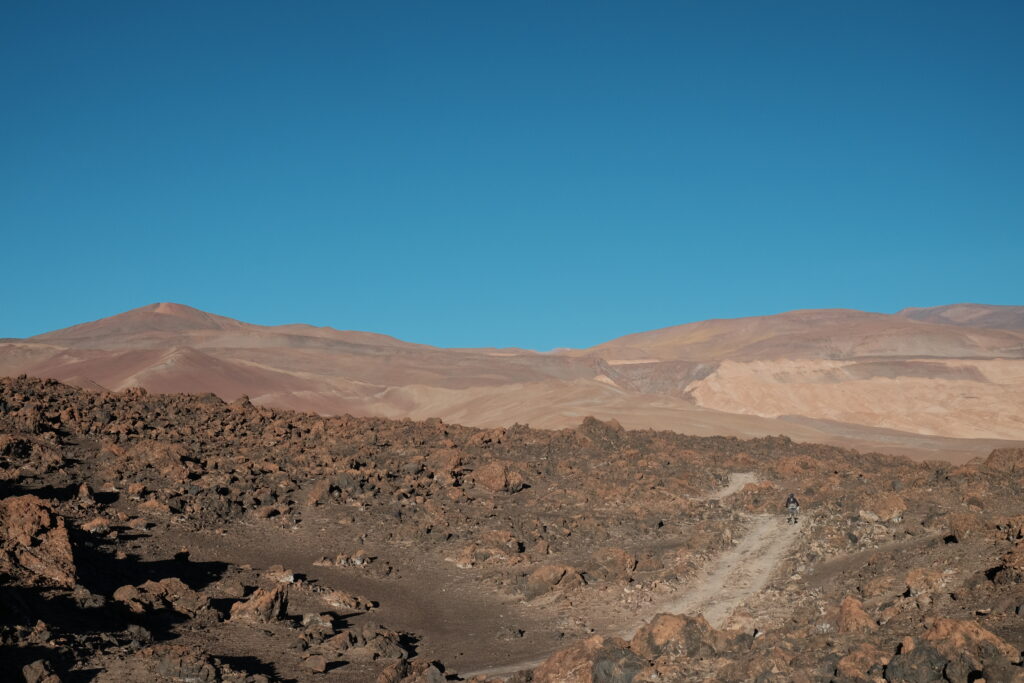
After returning to our bikes and eating second breakfast, we set off around 10.30am up a salty waterfall and then across a few salty streams (water water everywhere but not a drop to drink!) before commencing the imaginatively named ‘sandy funnel’. We found that by riding left of the track on slightly harder ground we could actually ride, until it got steeper and sandier towards the top. We expected the worst of it to be over once the gradient levelled off, but alas, it did not and we rode/pushed intermittently until reaching the doubletrack around Laguna Peinado after lunch.
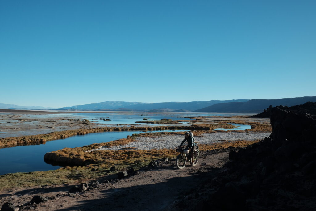
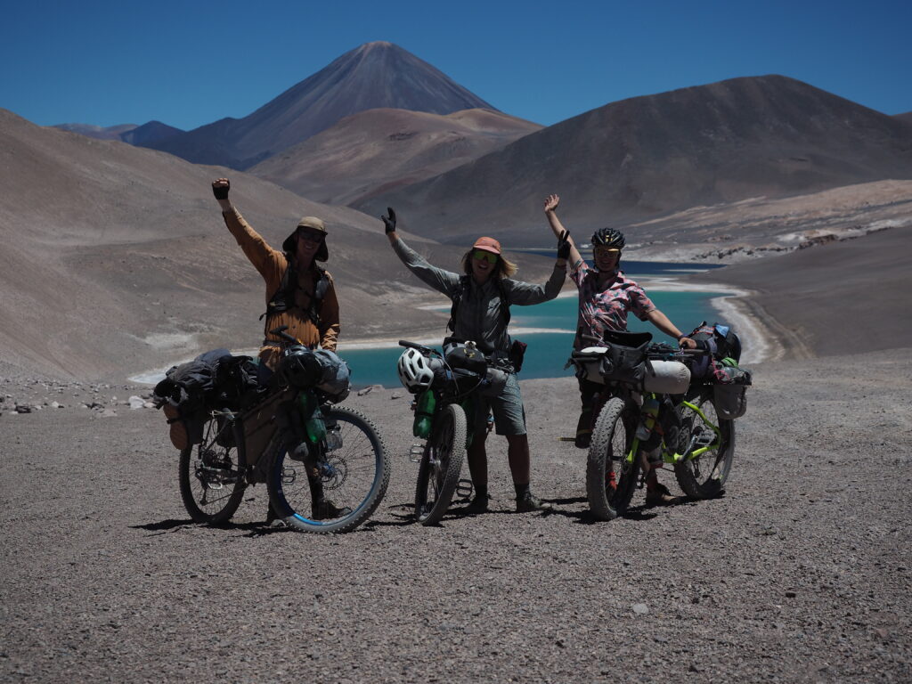
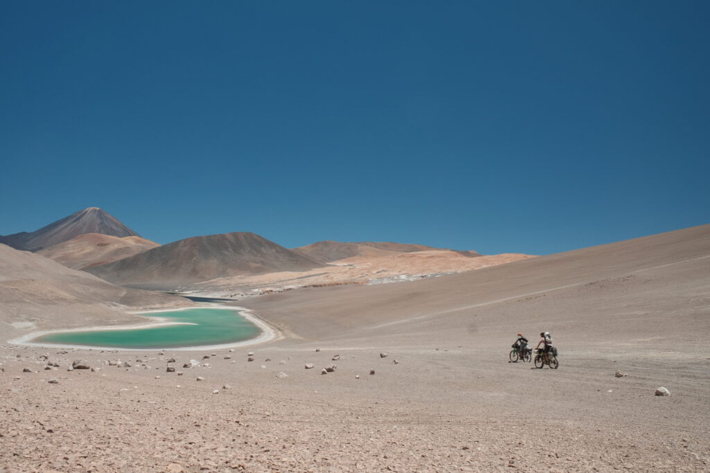
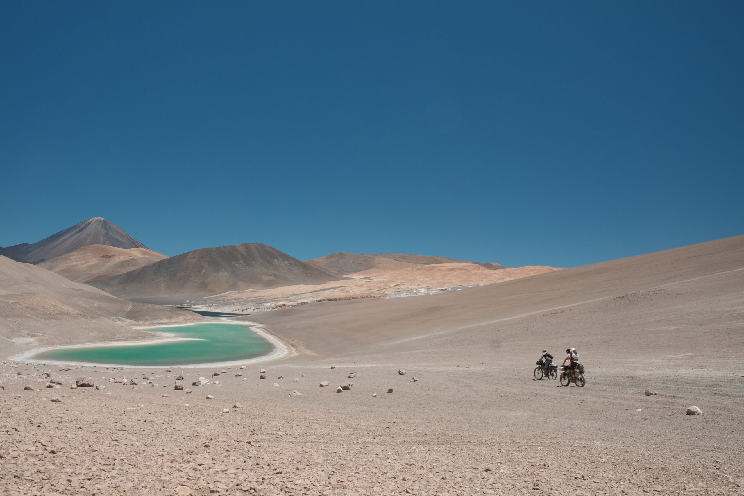
The view before descending towards the laguna is spectacular and so we decided to get the tripod out for a team photo. The lake is gorgeous, the surface sparkling in so many different shades of blue and after rounding a corner, we saw some of the pinkest flamingos yet! All set against the perfect cone of Volcan Peinado, it was a vista to commit to memory. After a short detour to marvel at the colour of the water at the hot springs, it was back onto loose sand for a climb up and over to the delightfully dry and hard mud flats, before negotiating a final, sandy lava field. We were very much done with the soft sandy pushing but pressed on and managed to make our intended camp spot for the night in a dried up river bed (thanks Mark and Hana) just before the start of the final 5,000m pass (ok, 4,999m or something).





Day 19, 29km, Volcan Peinado to Piedra Pomez
With the last high pass of the route, we expected this to be our last hard day of the Seis Miles Norte, so pre-emptively cracked out all the emergency sugar! The pass was a doddle compared to the previous one (could just be that we’ve learned from past mistake and keep our expectations low now), although not helped by Liam and myself having a diarrhoea attack first thing. Thankfully, I’m never now without loperamide. It was unlikely this could be anything to do with anything we’d consumed, but probably more to do with the extreme physical stress our bodies were under.
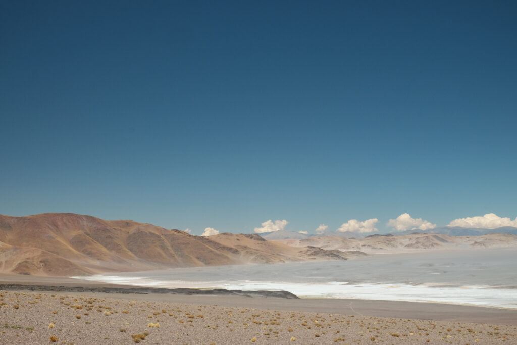
Mercifully, with the exception of some deep sandy patches at the start, most of the climb was in good condition and quite rideable. We even had a roaring tailwind helping us up the second half! Cresting the pass, it felt like we were riding over the edge of the world as we descended into the most unusual rocky landscape with the grey sea of Piedra Pomez below us. The track was rocky but good and some extra air went into our tyres to avoid punctures and pinch flats.
We arrived at the ruins of an old corral in Piedra Pomez early in the afternoon and enjoyed having the time to relax, read and not be riding or pushing. Because sheltered/recommended camp spots are so few and far between along this route, when you arrive early you can just finish early; it often doesn’t make sense to carry on! Thus, we enjoyed our surroundings, did a stock take of remaining food and tried taking photos of the flamingos.




Day 20, 47km, Piedra Pomez to Termas los Baños
This would have been an incredible day to be a geologist. I think we rode through the craters of three different volcanoes, each with a distinctly different type of rock. We pushed over the rim of the final crater and descended into a sandy plain where we freestyled a little over the loose surface in order to follow the track of the GPX. As we rounded a corner and started to descend down into a green valley, we noticed immediately how the air got cooler and fresher with the increased humidity. The smell also changed with freshness replacing the sandy, dry, dusty smell of the Puna we’d become accustomed to.
There are a few thermal options, as well as a laguna to camp at for this night. We opted for the thermals at Los Baños and you could not dream of a better location to celebrate having the toughest part of the route behind you. A small pool has been dug out where the hot water bubbles out of the ground and overlooks a beautiful valley of red cliffs. We bathed our tired bodies in the warm mineral waters, grateful that they’d propelled us this far. A peaceful night’s sleep was almost disturbed by a noisy kid goat from a nearby farm, but thankfully he piped down before lights out.


Day 21, 69km, Termas los Banos to Palo Blanco
Now that we were on the downhill portion of the route, we forgot about the early alarms and enjoyed an unhurried morning ensuring we fitted in a morning soak. The incredible geology continued as we descended through red rocky cliffs and the air sweetened with the scents of flowers. One blue/purple variety of pea had the most eye catching flowers and reminded me of the lupins we’d seen so much of in the highlands of Peru. The doubletrack was good fun all the way down to Las Papas. Not needing anything, we passed through this small hamlet hopeful of making Punta de Agua by lunch.
The next section of the route is famous for crossing the river some 80 times. Ironic for a route which is defined by water scarcity. Again, this is a section that you read about, see it in others’ photos and YouTube videos and anticipate it so much because you know that when you’ll be there, you’ll be descending out of the Puna having completed one of the hardest bikepacking routes of your life. I felt so zen as my feet splish splashed in the water trying to turn the pedals to navigate the fords. I recognised that although our experience wasn’t quite as isolated as we expected thanks to the presence of miners I still felt so grateful that we’d been able to experience this route. There are so few people in the world who have been fortunate enough to experience the beauty of the Puna by bike, and have a taste of the open-hearted hospitality of the Brea family.
I could feel my body relaxing; after so long rationing water and food it was like the river was signalling to my nervous system that abundance was just around the corner. The crossings got pretty deep in places but as it had been a long time since the last rain they were all rideable. Of course, it wouldn’t be a day on the Seis Miles without a little bit of pushing through deep sand and sure enough some 10km before joining a bigger dirt road, Liam and I were dismounting to get our backs into it, one last time!
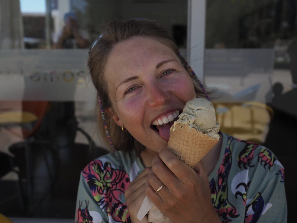
You could see Punta de Agua from kilometres away thanks to the tall trees planted around the village for shade. We arrived in time for a late lunch but struggled to find anywhere to satiate our appetites. Eventually we found a lady with a small kiosk shop who could whip us up a simple lunch. Recharged, we pushed on to Palo Blanco where we were introduced to Argentina’s best kept secret: Grido Helado. Two scoops for around 90p. The town also had an amazing municipal campsite which is totally free. Complete with flat grassy ground, trees, some communal blocks and BBQ areas, we felt like we were back in Europe!


Day 22, 50km, Palo Blanco to Fiambalá
After an easy descent on tarmac in the cool morning air, we arrived in Fiambalá to find our friend Oscar from Cusco in the same campsite. He told us of making the same descent three days prior in a full blown sand storm! This helped us to appreciate just how lucky we’d been with the weather! Despite a few days where the wind had been annoying we’d been granted relatively easy passage by Mother Nature.
The final obstacle which we did not anticipate was getting enough cash out in Fiambalá to be able to eat! With the turbulence from the election and anticipated economic chaos, all the ATMs in town were empty and barely anywhere accepted card payments. Thankfully we had enough on us for a celebratory lunch and another round of Grido ice creams before we eventually found someone who would exchange our emergency dollars for a good rate.
Over our two and a half days in the town we worked our way through the flavour selection at Grido. Liam and I had definitely been running a calorie deficit along the route and it’s amazing how quickly your body can go from feeling very lean to almost back to normal when you really pile in the ice cream!

Final thoughts
This second portion of the route really surpassed our expectations in terms of quite how difficult it was. While we knew that fat bikes were recommended, we didn’t think that riding regular mountain bikes would handicap us quite so much (Liam 3” front and 2.6” rear and El 2.8” front and 2.35” rear). There were also many occasions where Annie was pushing her fat bike equipped with 4” tyres on 58mm rims, so there is no escaping the hike a bike when you combine the sand, altitude, gradients, heavy loads, wind and cumulative fatigue.
While we are so grateful for this experience and so pleased that we did decide to ride this route (there were moments after Bolivia when we weren’t quite sure if we had the resilience for it), we both agreed that we would not elect to ride it again without fat bikes. Perhaps if we relocate to somewhere snowy and do end up buying fat bikes, we will return but for now we’re looking forward to some easier touring with plenty of type 1 fun.
Sorry but it does not sound fun. Well done guys. Danny
Blimey Im exhausted having read those 2 blogs, what an amazing adventure you are having.
Happy Christmas.
Another great read guys – well done completing the Norte! Brings back so many memories of the route. Thank you.
Thanks Mark! Your blog of this section was an inspiration for many years
Thank you so much for your blog. Reading it day by day whilst on the route kept us motivated. Currently sat in Palo Blanco awaiting ice cream. The ‘doddle’ described of the second pass had our hopes up, only to be slayed 80m vertical from the summit. Absolutely smashed. We rode 3inch tyres and had a lot of hike a bike too 🙌🙌