
The themes for this blogpost are thwarted ambition and serendipity. We’d been given a tip from a couple further along that the Valle del Avilés trail through Parque Patagonia was one not to be missed. The best riding of the trip, they’d said – tough hike-a-bikes, but sublime singletrack making it worth all the effort. They’d had to debate/negotiate with the CONAF official at the trailhead, but had managed to get through in the end.
With that promise, we changed our onward route from Villa Cerro Castillo, heading back on ourselves and down to Puerto Ibañez for the ferry, instead of continuing along the Carretera Austral. With the only Saturday ferry departing at noon, we played it safe (way too safe, it turned out) and set ourselves an antisocial alarm for 5:30am.
One of the games we play on the road to keep ourselves entertained is the where-does-this-remind-you-of game. The landscape on the undulating road to Puerto Ibañez was reminiscent of the North-West coast of Scotland, with its bare rock warm smooth by millennia of glacial action.
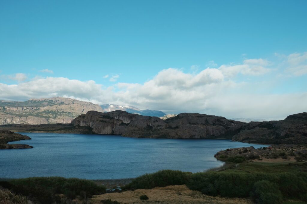
Way sooner than we’d anticipated (thanks tailwind), we found ourselves dropping down to the turquoise waters of Lago General Carrera. A side benefit of this new route choice was that we bumped into Simon and Lizzie again, after last having seen them in Cusco!
The lake is the biggest in Chile and spans the border between Chile and Argentina. The ferry took just over 2.5hrs, which just goes to show how big this lake is!
We resupplied at a good supermarket in Chile Chico, planning for 5 days’ worth of food in case the trail took a lot longer than expected. You never really know when taking bikes on hiking trails. With the available package sizes, we actually left with almost 7 days’ worth of food – safe to say I was feeling a lot of trepidation at the thought of having to hike-a-bike with a bike this heavy!
The ride to the park entrance was 50km along a rough, washboarded road. We managed 20km that initial evening until finding a good flat spot adjacent to a running stream (most of the smaller streams running completely dry at this time of year).
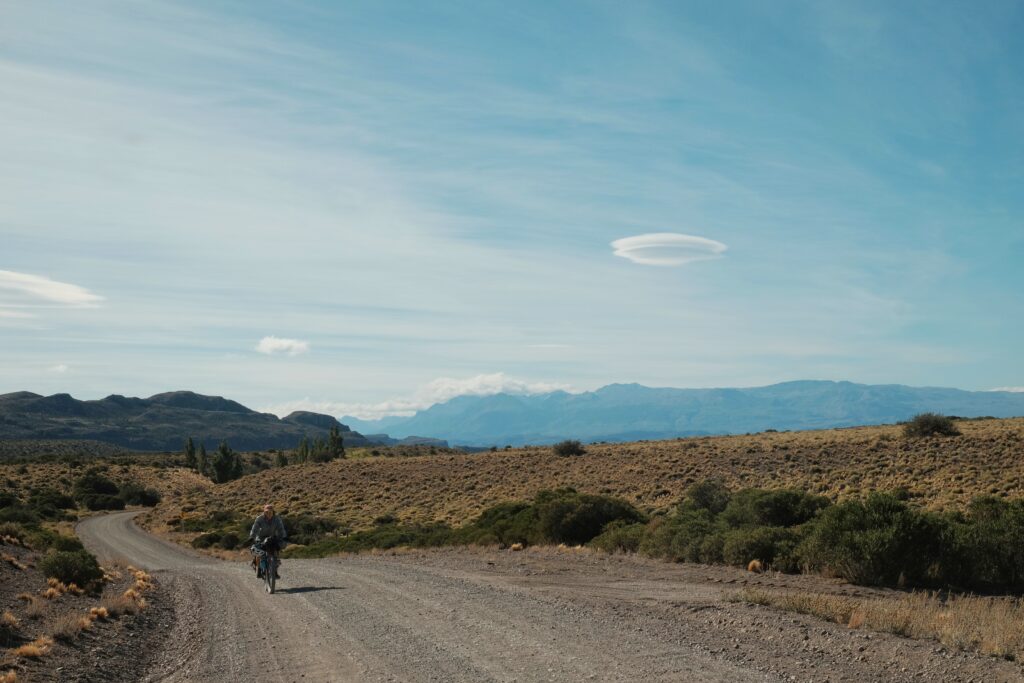

The road didn’t relent for the remaining 30km the following day, made harder by the fact the road turns to the West and away from the Argie border as it enters the mountains.
We both felt nervous as we pulled up to the CONAF building by the car park and entrance to the park. Were we going to be let in? No, was the short answer. The CONAF man was pleasant enough, but unequivocal that bikes were most definitely allowed on this trail. We asked why not and were quoted the relevant law detailing the allowable activity master plan of the park. There seemed to be no reasoning with the man, and being good Brits, we backed down in the face of authority. As we saw it, despite not agreeing at all with the rules, we were guests in their country and had a duty to respect them, if only not to sully the name of cyclists and cause more aggravation for future tourers.
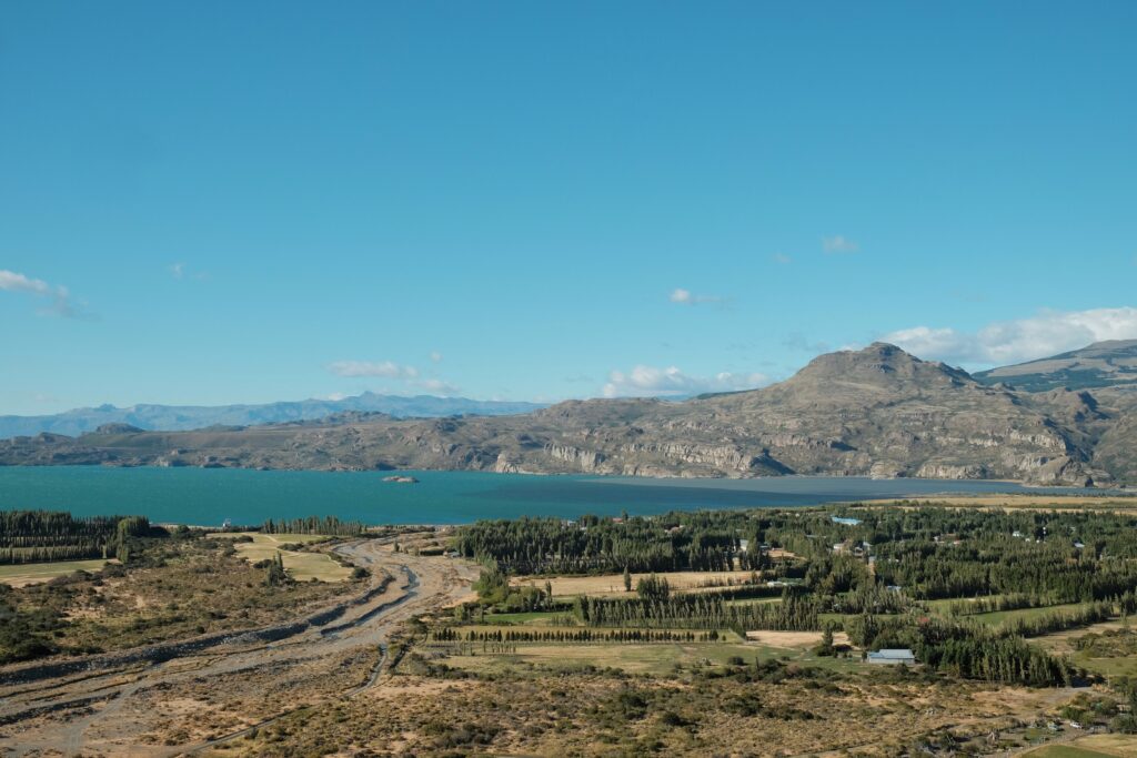
Whilst discussing what we should do now that this giant spanner had been thrown in our spokes, we were approached by an older woman who was there to drop off her husband and 2 friends at that trailhead. She was also British, and had recognised us as fellow Brits by our accents and how easily we’d given in! She was headed back to Puerto Guadal and offered us a lift to the start of the Sendero Furioso, a route through the park that cycling was allowed on and that we’d been planning on doing initially before the idea of riding the Valle Avilés was planted. This was a massive stroke of luck as we were dreading the bumpy 50km ride back the way we’d come, followed by 100km into a massive headwind along Lago Carrera to get to the start of Furioso. I’m not sure we would have bothered if we hadn’t managed to get a lift.
Although born and raised in the UK, Angela had spent most of her working life in the USA. She’d been coming to Patagonia for decades now and had a house with her husband, Jim, in Puerto Guadal. Incidentally, Jim was one of the pioneering US climbers who first came to Patagonia in the 70s and opened up the routes around El Chalten, having the first ascent of Torre Egger to his name. For the 3+ hour, horrendously bumpy ride, Angela regaled us with countless tales of daring do and near death experiences. If, at the age of 80, I’m still spending a night shivering under a tree having capsized my packraft, I’ll be happy!
Our bikes survived the journey nearly unscathed (El’s front rim getting pretty scratched up by my pedals), which was a relief. While not being allowed to ride Valle del Avilés had been extremely disappointing, in hindsight, we got extremely lucky with Angela and managed to make the best of the situation. Serendipity…
We camped that night by the Rio Maiten, just a mile or so from the turn off to Sector Furioso.
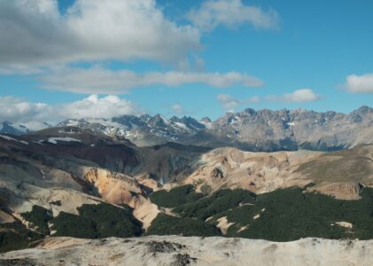
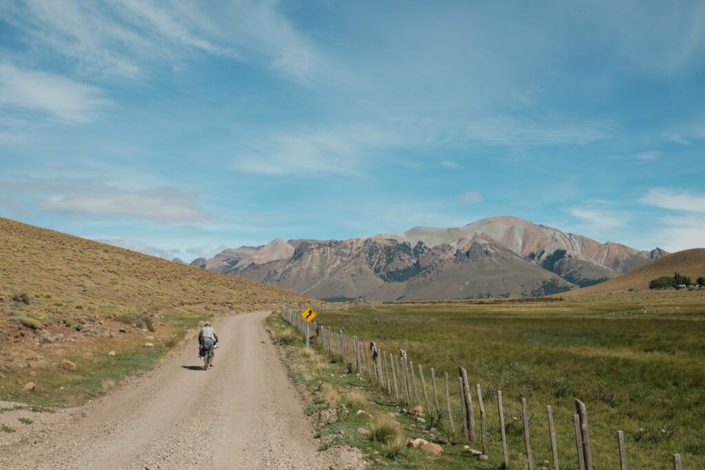
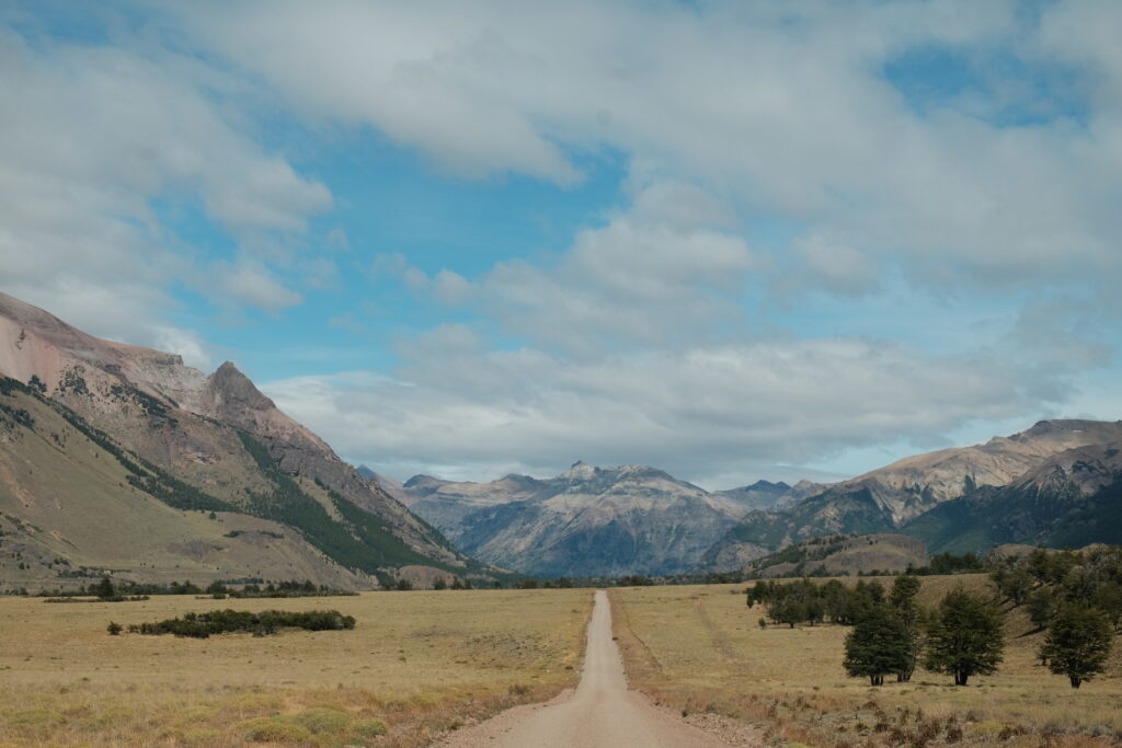
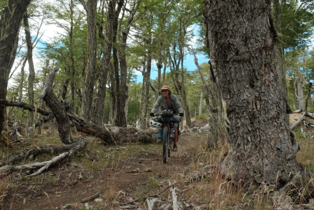
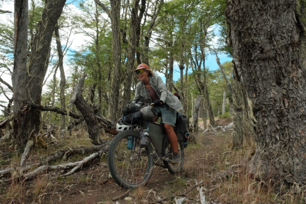
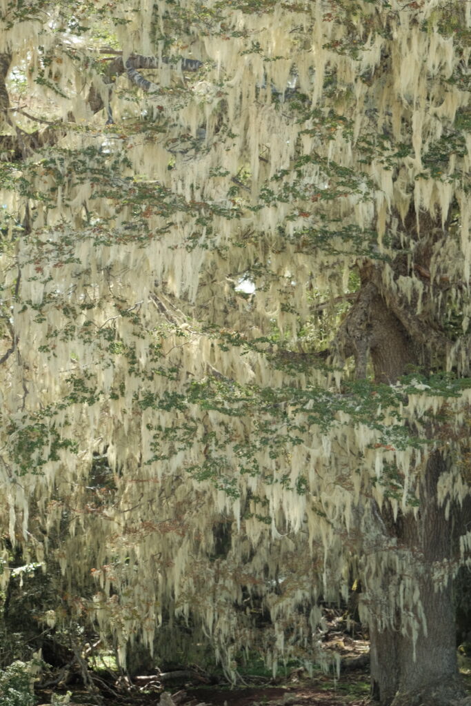
The road up to the Sector Furioso entrance to Parque Patagonia initially takes you past a few scattered farms, before traversing more established beech forest as one crosses the park boundary. The road quality is excellent (especially compared to the roads the previous day!) and the riding very pleasant as the route gradually ascends and crosses into the divide into the Chacabuco drainage.

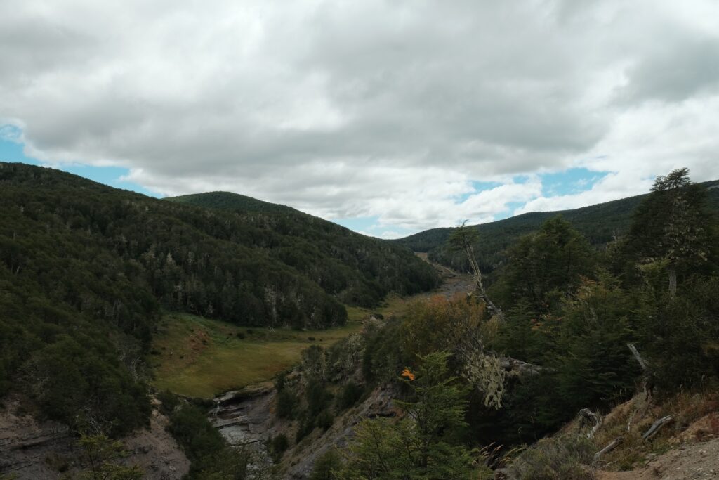


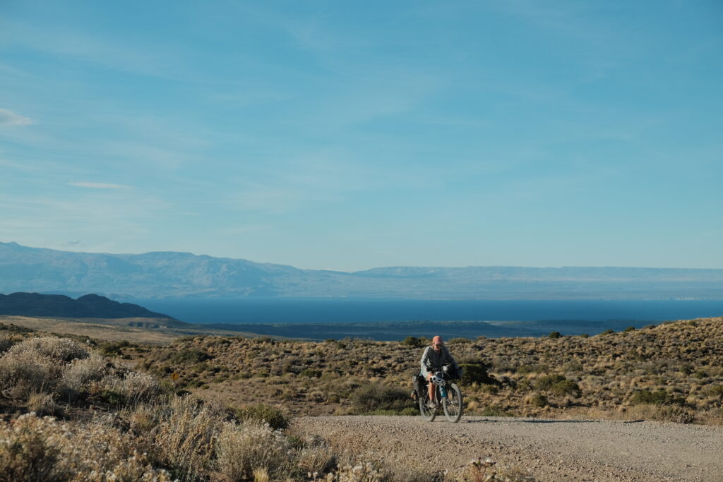
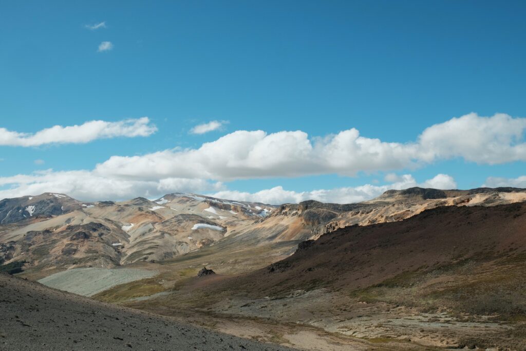
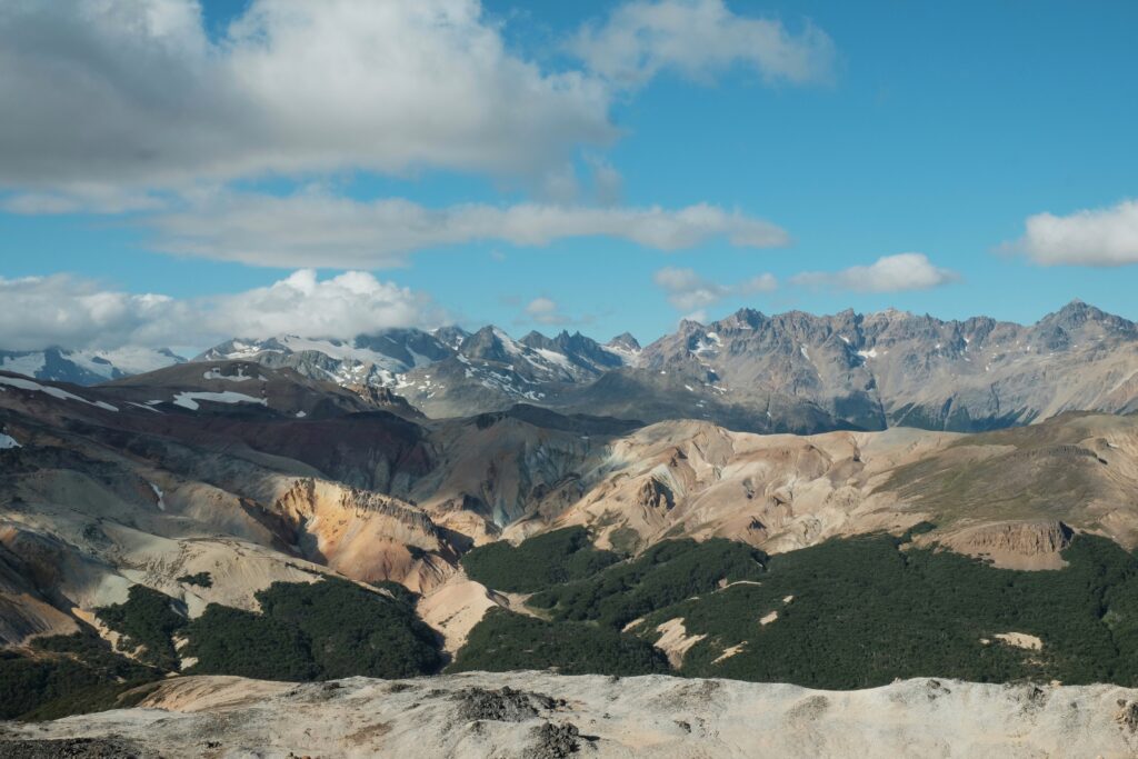
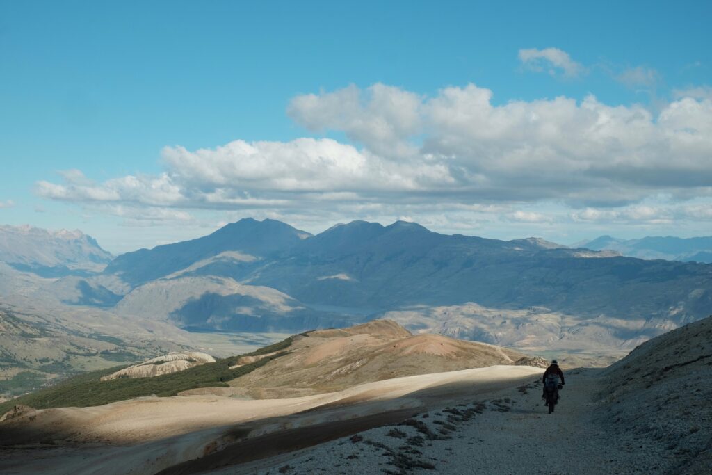
As we climbed up and up, the views opened up to the Chacabuco valley and beyond to the South, and the Northern Patagonian ice cap to the West. The immediate surroundings were very reminiscent of the Peru Divide: multi-coloured rock and a network of old mining roads draped around the contours like spaghetti. With the views comes the wind. Combined with the soft surface and undulating terrain, it felt like it took a lot longer than expected to reach the actual top of the pass.


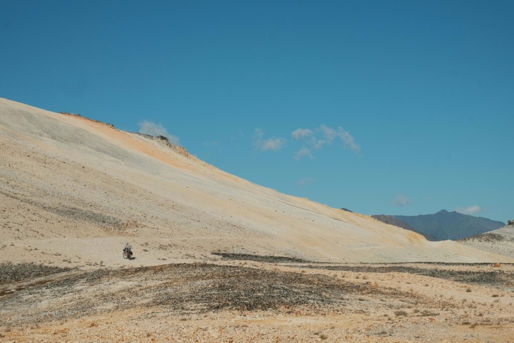
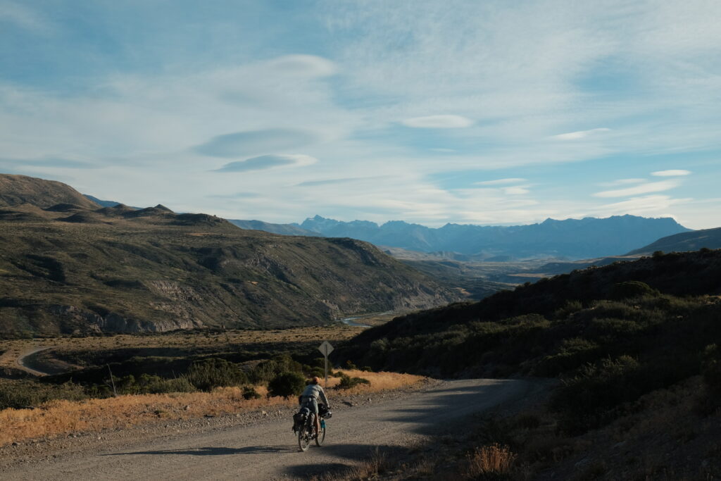
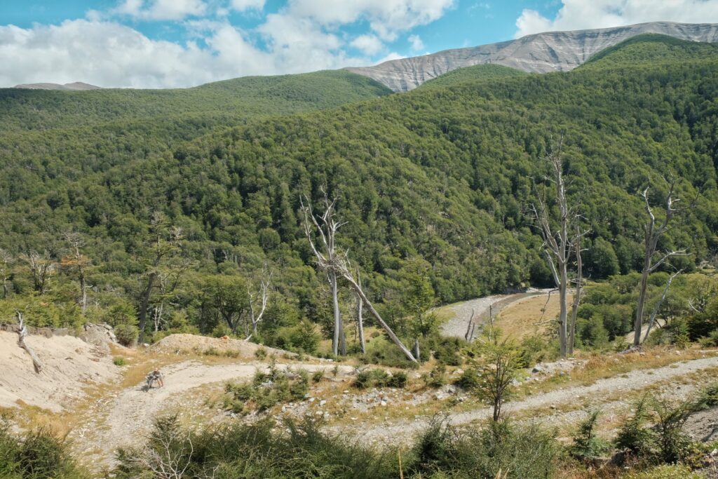
At last, we rolled over the top and dropped into a steep, at times loose, descent. Coming the other way, this would be an extremely tough climb, with extended sections of hike-a-bike. We camped that night by the edge of the Rio Furioso and the first of the wobbly bridges.


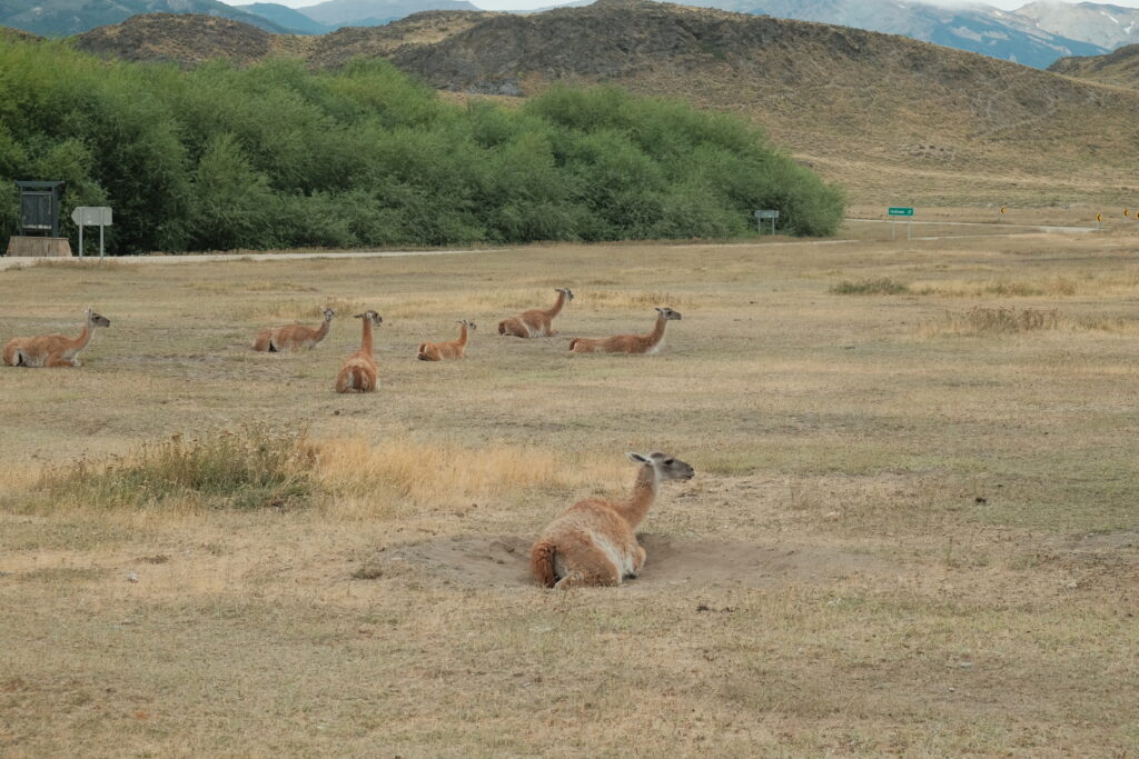
From there, there’s one more steep climb until finally getting spat out into the pampa of the Chacabuco valley. This is the main valley that transects Park Patagonia and is known for its large concentration of guanaco.


The day was overcast, but thankfully, the wind was almost non-existent ensuring that we made faster progress towards the Carretera than we had been anticipating. Not even the horrendous washboard could slow us down too much! The road was pretty much deserted until we passed by the park headquarters. With its immaculately kept lawn, fancy restaurant and car park full of flashy new SUVs, it felt very incongruous when juxtaposed with the barren, wild landscape surrounding it. “It’s all a bit National Trust”, exclaimed El. It’s sad that this seems to be the ‘correct’ way to experience the national parks according to the authorities. With their rules and ridiculous opening times on trails, it feels like CONAF does everything it can to stop people from enjoying nature in any adventurous or even unique way.
Before long, we were back on the Carretera and riding along the undulating banks of the mighty Rio Baker. This river drains from the Lago General Carrera and is Chile’s largest river by volume of water.

We’ve spent the past day resting up in the town of Cochrane, the last ‘real’ town on the Carretera when heading South. Lizzie and Simon showed up before lunch after also having tackled Sendero Furioso, so it’s been a very sociable time. Our initial plans from here had been to head back into Argentina via Paso Roballos and head down to Perito Moreno National Park. Having seen Mark and Hannah’s write up from their visit to that park, it was somewhere we had earmarked to visit from the very start of our trip. However, looking at the distances involved to get from there to El Chalten, it’s become clear that this isn’t feasible given our, admittedly self-imposed, timelines to get to Punta Arenas for our flight on the 7th April. As such, we’ll probably be following the crowds down the Carretera to O’Higgins and the boat crossings, although we are hoping to weave in a few interesting detours along the way.
Until then, thanks for reading and chiao!
If you’re enjoying our blogs then please consider buying us a coffee, ice cream or a night in a hostel. It helps us access the wifi we need to get the photos and articles uploaded. We really appreciate the support! Visit our ko-fi page here to throw us a few bob, quid, pesos etc. Muchas gracias.
Always great to read your updates!
Another great blog.
Loving reading more about the adventure then the caption on a few photos.
Graciaaas!