We ended up spending an extra day at the Casa Ciclista in Tumbaco, as El’s back was playing up and we figured we probably shouldn’t start this next section with a terrible night’s sleep under our belts. That extra day meant that we would bump into Aurelia and Matthieu, two french cyclists also doing a Colombia-South trip, although they earned themselves some serious bonus points by sailing across the Atlantic to get to Cartagena! We would be seeing a lot more of them over the next few days, as well as an American couple, Lani and Steve, who were at the Casa when we arrived, but left a few days before us. Meeting lots of other cyclists on the road has been, for us, one of the best aspects of following a published route like the TEMBR. It feels a lot more social compared to the relative isolation we experienced in Colombia, although it’s hard not to start comparing yourselves sometimes! Aurelia and Matthieu are insanely well organised in the morning and riding by 7am most days, making us feel very sloth-like in comparison.
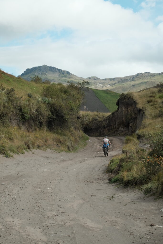
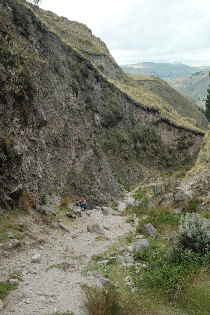
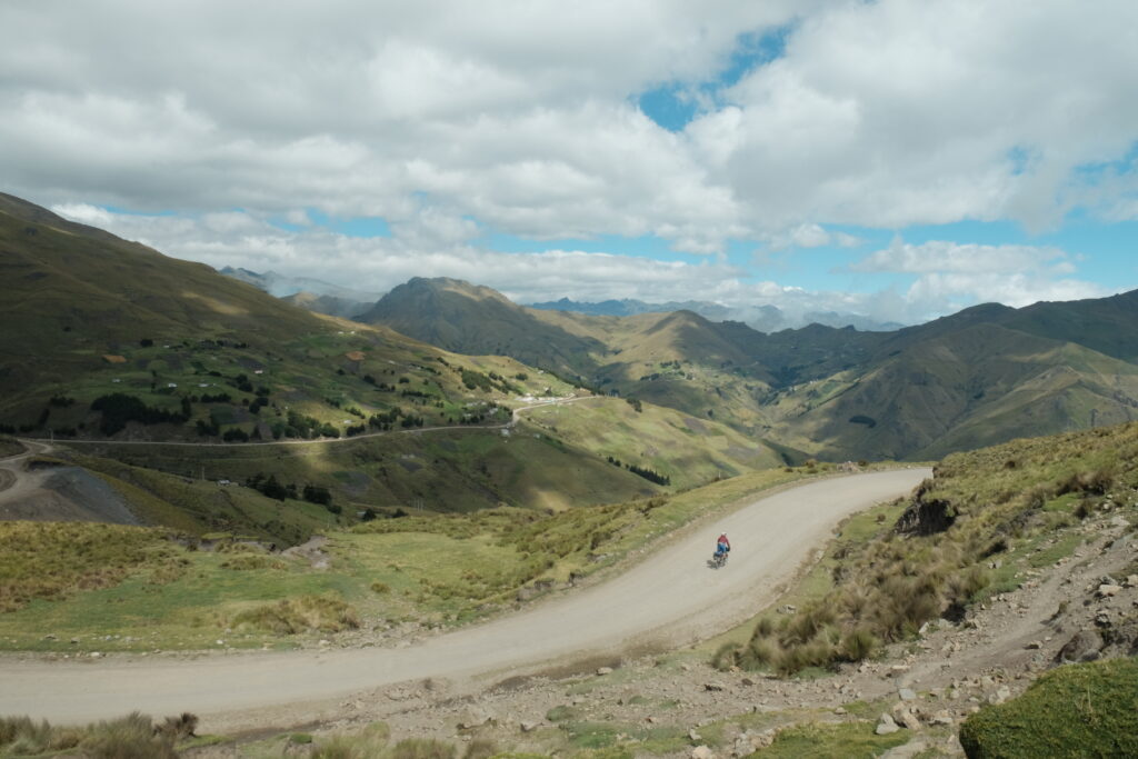
The advantage of having some acquaintances further up the trail was made immediately clear to us, as Lanai and Steve reported being asked for $10 by an angry farmer who’s land the route supposedly went through on the way to Cotopaxi national park. That encounter, together with reports of numerous locked gates, meant we revised our route for the first one to two days, taking the more main road to the north entrance to the park, rather than the TEMBR route. This turned out to be a perfectly pleasant cobbled road, with minimal traffic (it was Friday) and lots of opportunities for side excursions to see various waterfalls along the Rio Pita. At around 5pm, just as we started to properly think about where to camp for the night, a 4×4 drove past us in the opposite direction before hastily coming to a stop and reversing back to us. The chap inside, speaking with an American accent, said that we should stay at his place, Bike Park Santa Rita, for which we had seen numerous signs on the way up. That seemed like a reasonable idea, so we pulled into the place about 20 minutes later hopeful for a shower and maybe some playtime on the pumptrack. Unfortunately, it was $10 per person, an insane (to us) price for camping, so with regret we pushed on up the hill, out of the forested valley we had been following and onto the more exposed plains surrounding Cotopaxi (apparently, according to Santa Rita man, it’s “dangerous” around there.
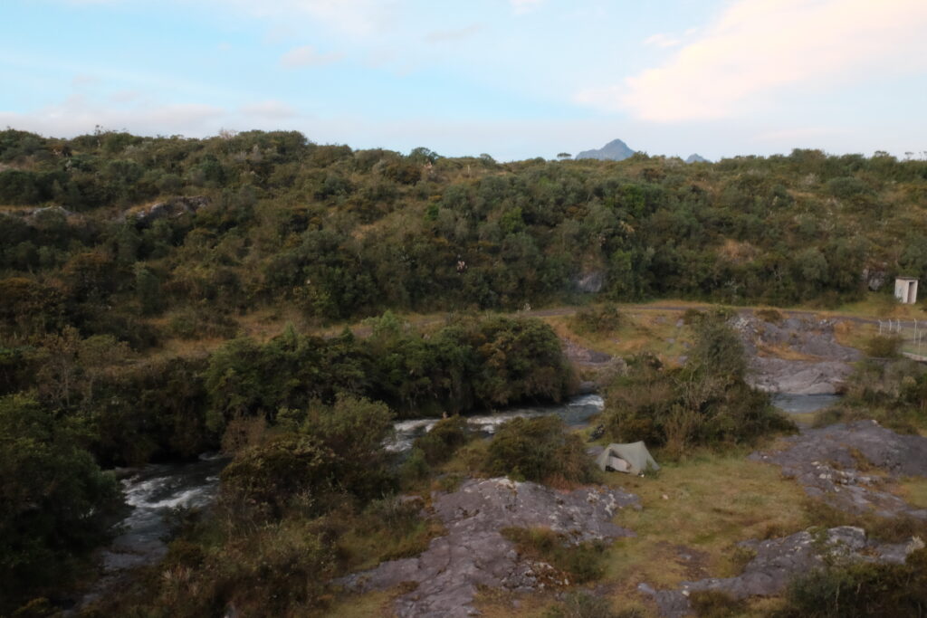
Spying a track leading off towards the river at the next Parador, we took a punt and followed it down, across and rickety bridge, and found ourselves the perfect camp spot. Flat grass, the river ten steps away for water, and completely out of sight of the main road. The camping gods had looked down on us favourably tonight! We cooked dinner in the dark thanking them once again.
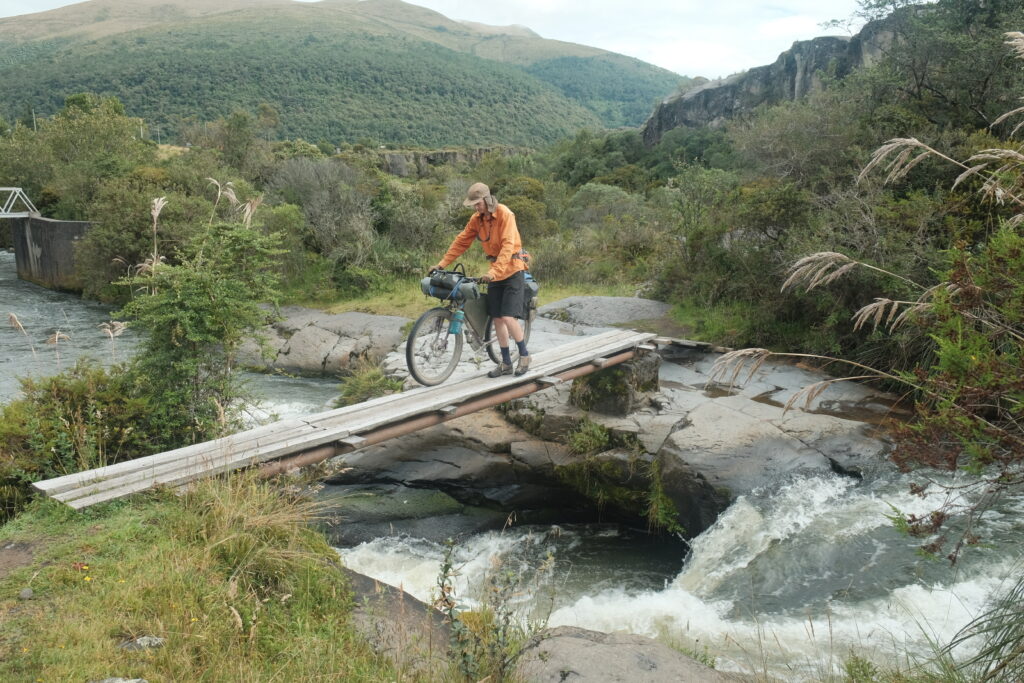
After a quick swim in the river, we set off on the final 10km to the park entrance, where we ate lunch behind a cabin sheltering from the wind which had picked up significantly. I (Liam) had set my sights on climbing Sincholagua, Ecuador’s 12th highest mountain, the following morning, but an officious park guard was insistent we couldn’t camp at the bottom ofe the mountain by the Rio Pita, even though it is clearly outside the national park.
Feeling a bit despondent at having to change plans and the amount of bureaucracy that seemed to be involved in Ecuadorean national parks, we continued into the park along the main road. I when I say road, I mean a ridiculous gravel road wide enough to fit 4 buses side by side. Given that there is only one legal camping area inside the park for the supposed reason of “minimising impact”, this monstrosity of a road and the 4x4s and buses zooming up and down it felt very out of place.
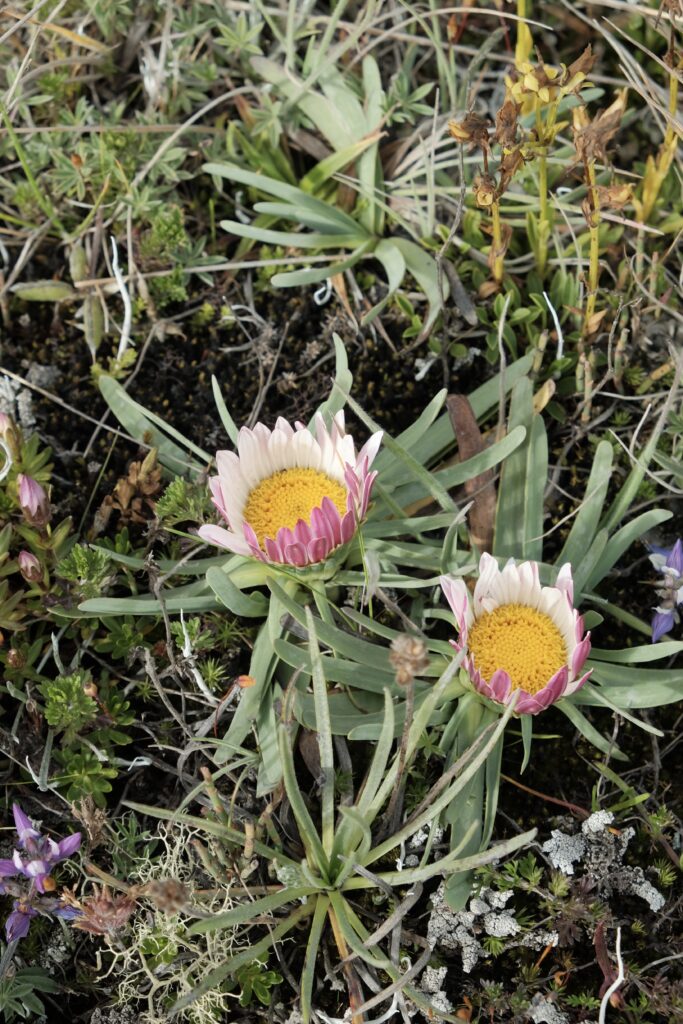
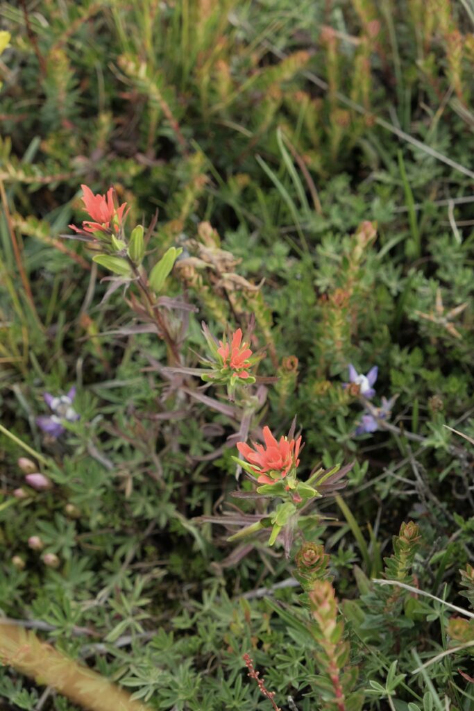
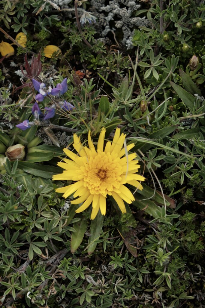
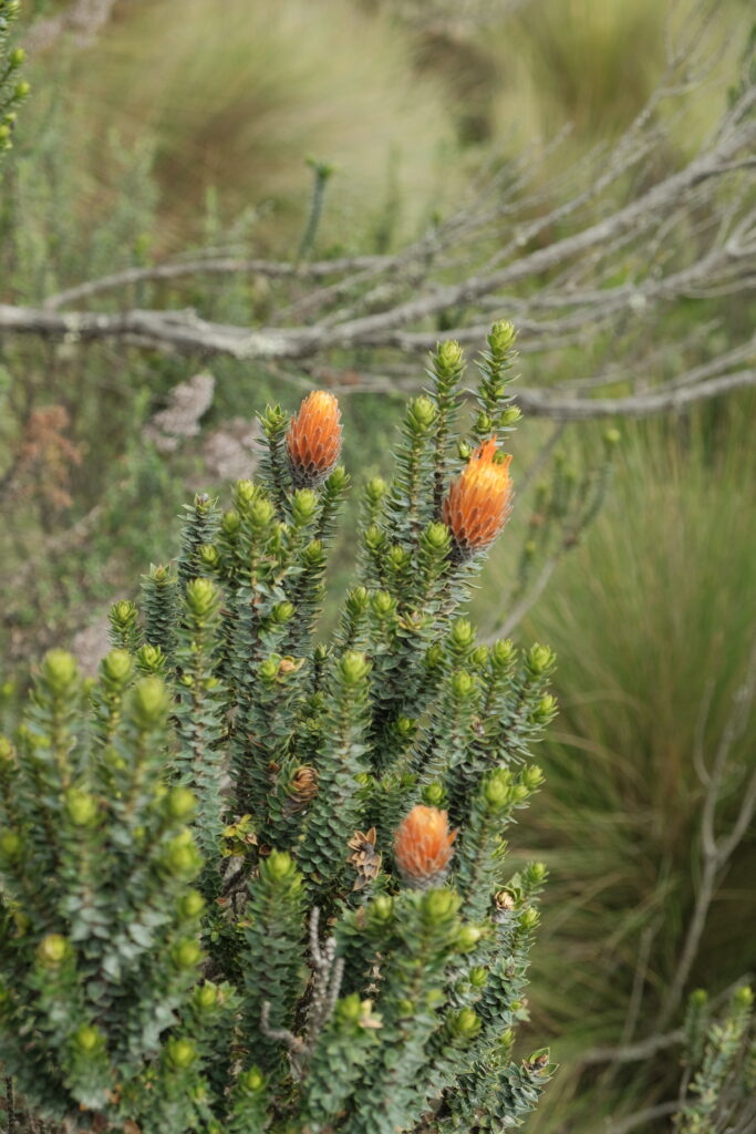
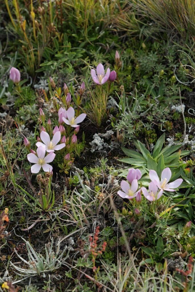
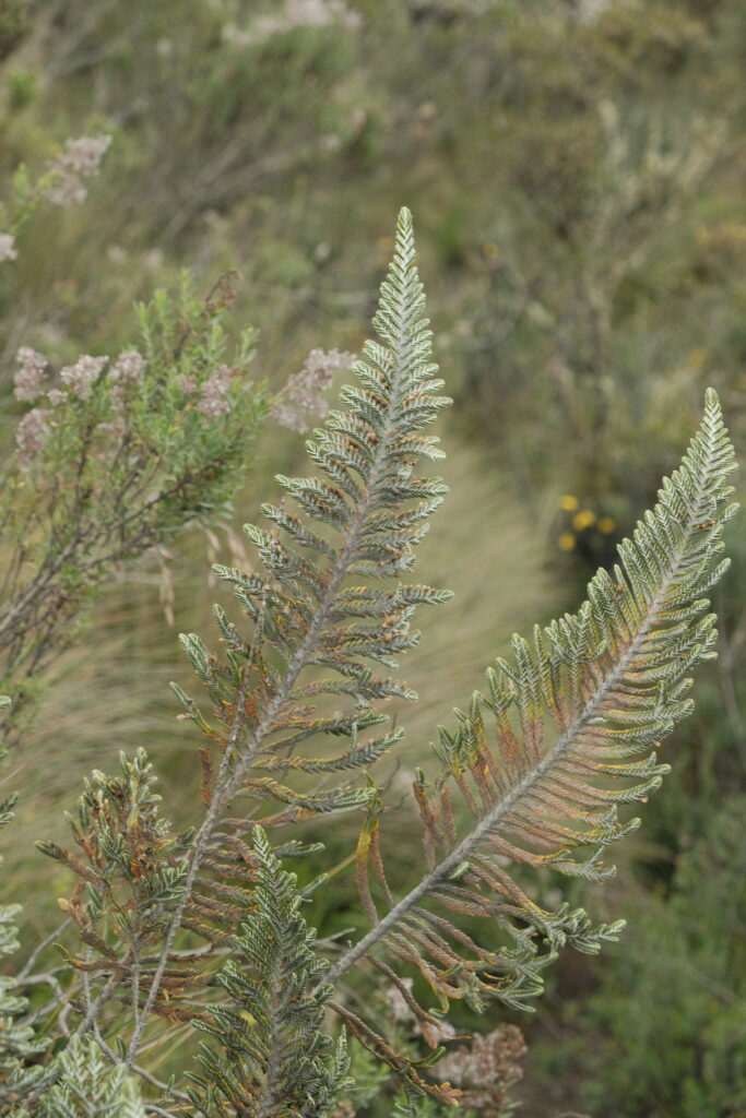
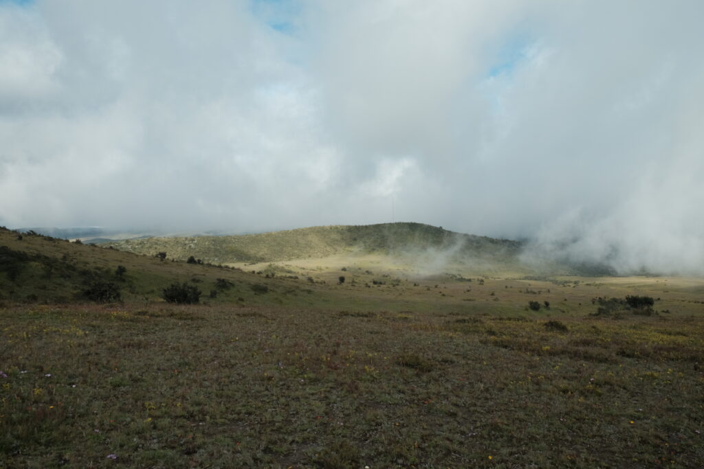
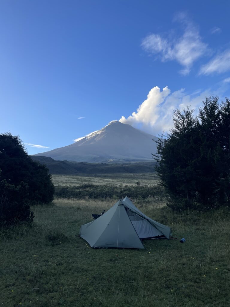
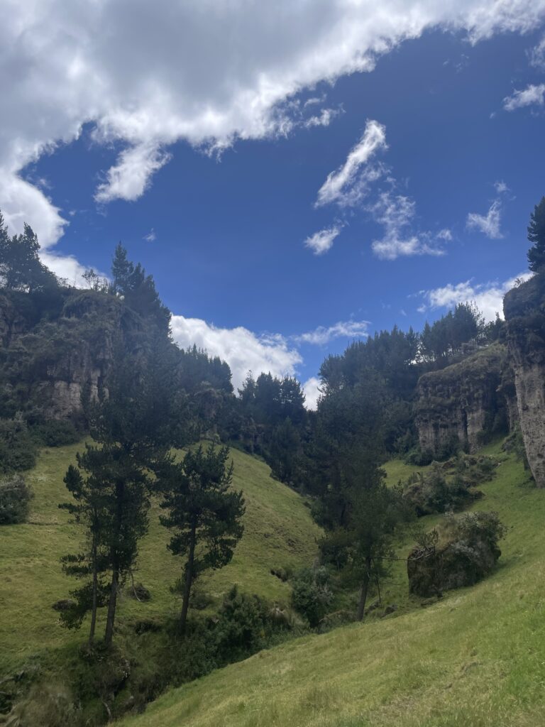
We pulled into the designated camp spot fairly early after an easy day and tried to set up the tent as best as possible for what we were hoping would be banger views of Cotopaxi the following morning. For now, all we could see was cloud! Away from the road, the high altitude plains were full of wildflowers and deer, while on an afternoon hike up to the South face of Ruminahui I spotted two Carunculated Caracara. It felt great to get away from the main road and let the frustration of having to change our plans subside.
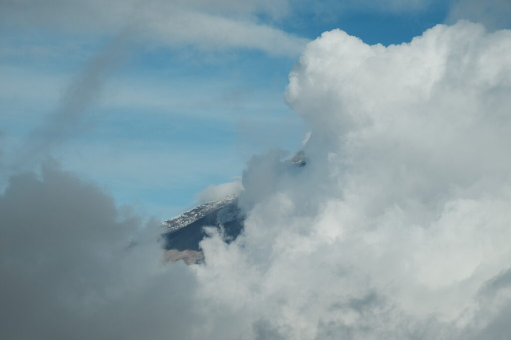
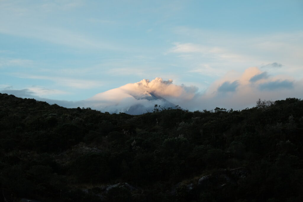
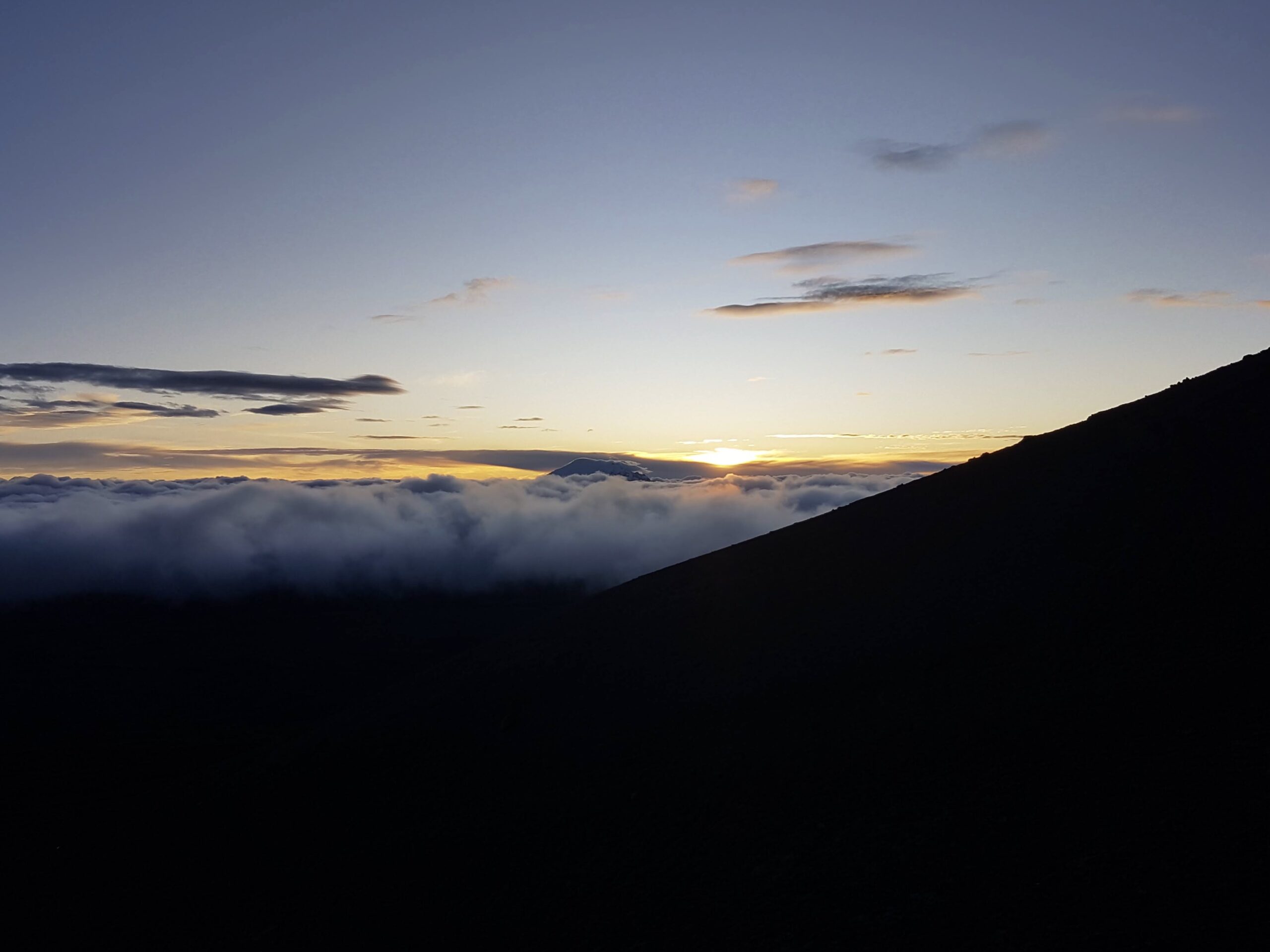
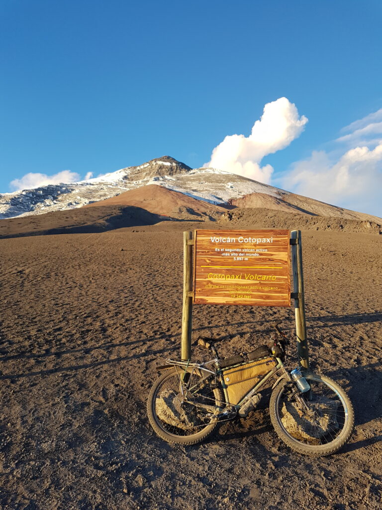
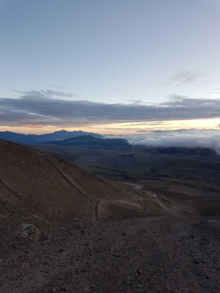
The following morning, I (Liam) got up at 4:30am for a sunrise mission up to Refugio Jose Rivas. This involved first, a 1000m climb up a switchbacking dirt road to a car park at 4600m, followed by a 200m hike to the refuge. Although I despair that tourism so often means a dumbing down (why does anyone really need to park their car within 1200m of the summit?!), this road did provide a very efficient means of gaining altitude and catching a magnificent sunrise.
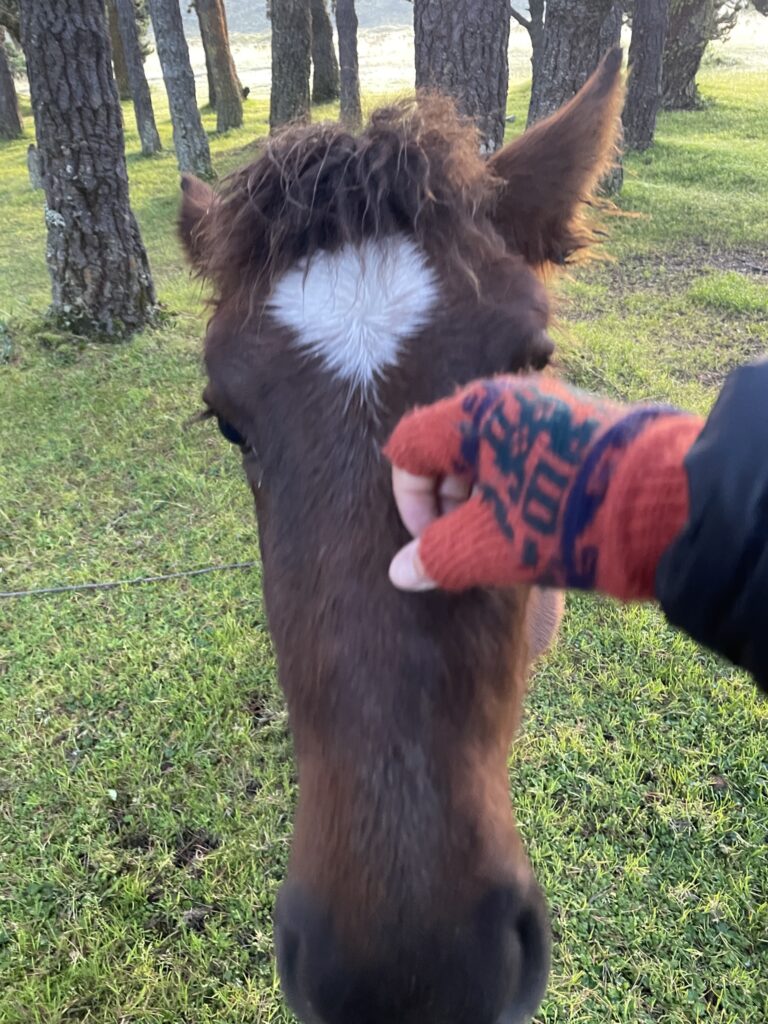
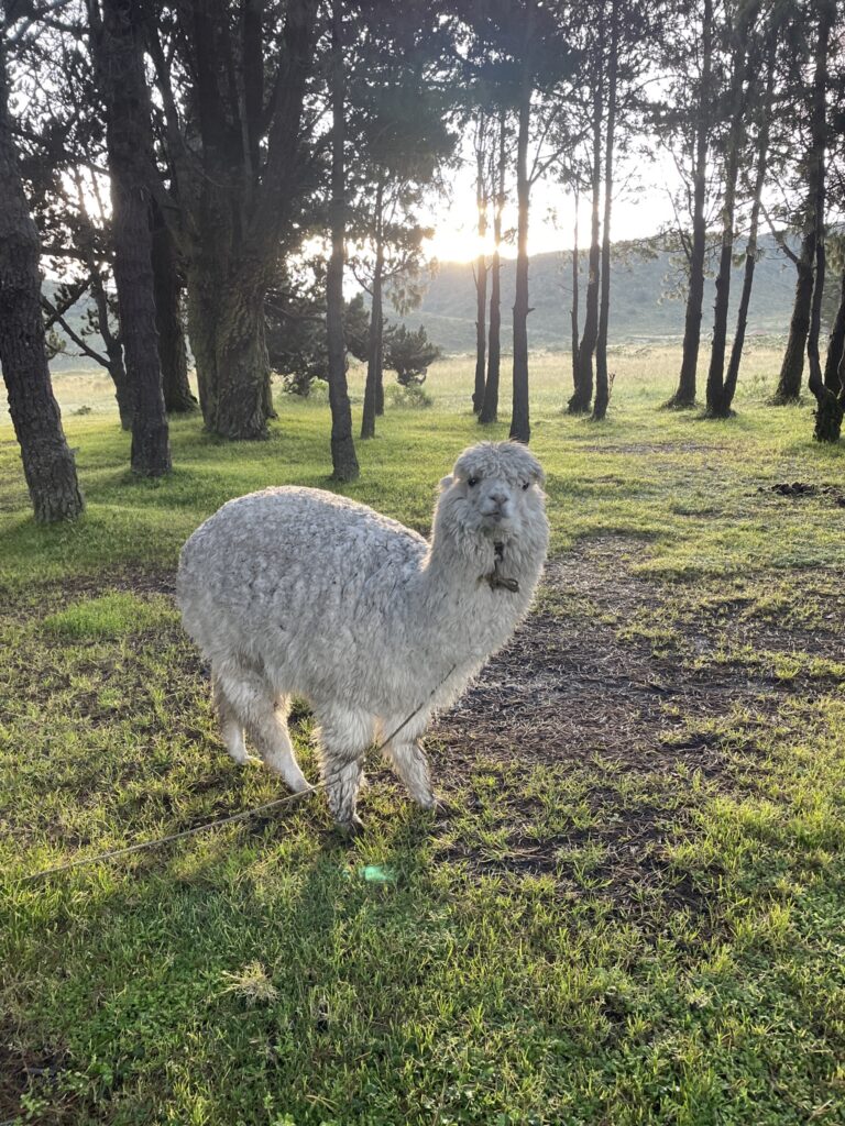
Meanwhile, back at camp, El was also enjoying the views with a couple of friends.
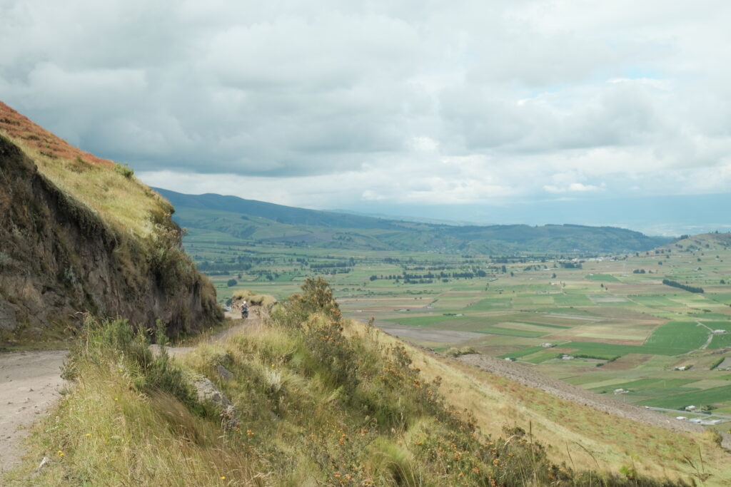
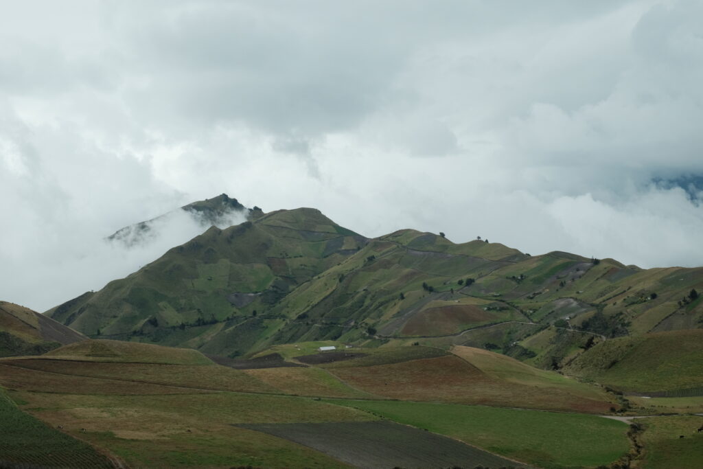
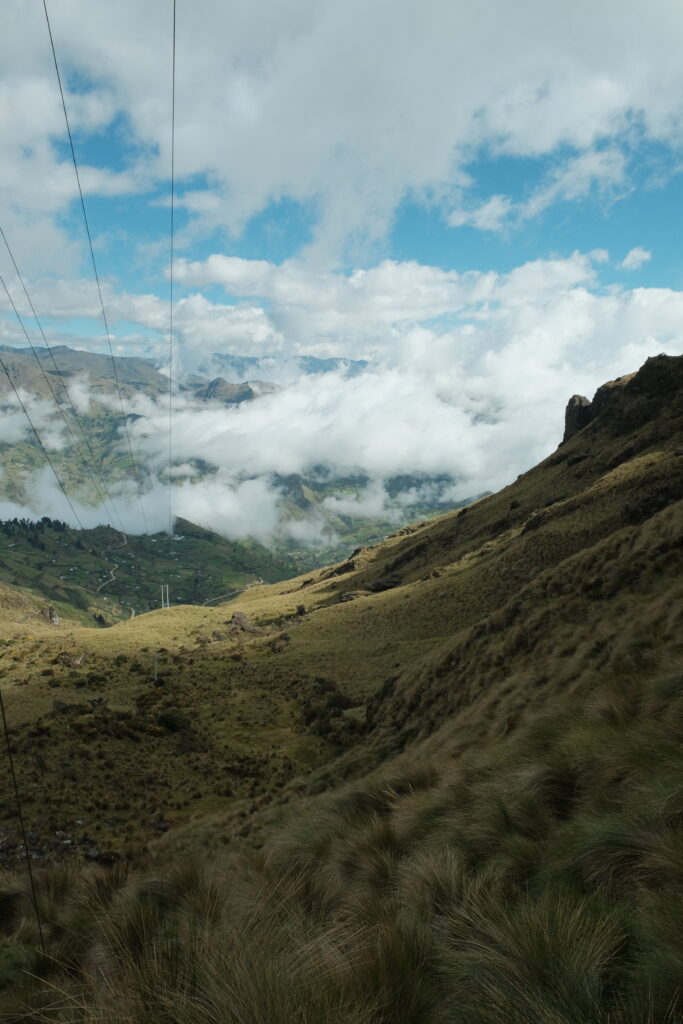
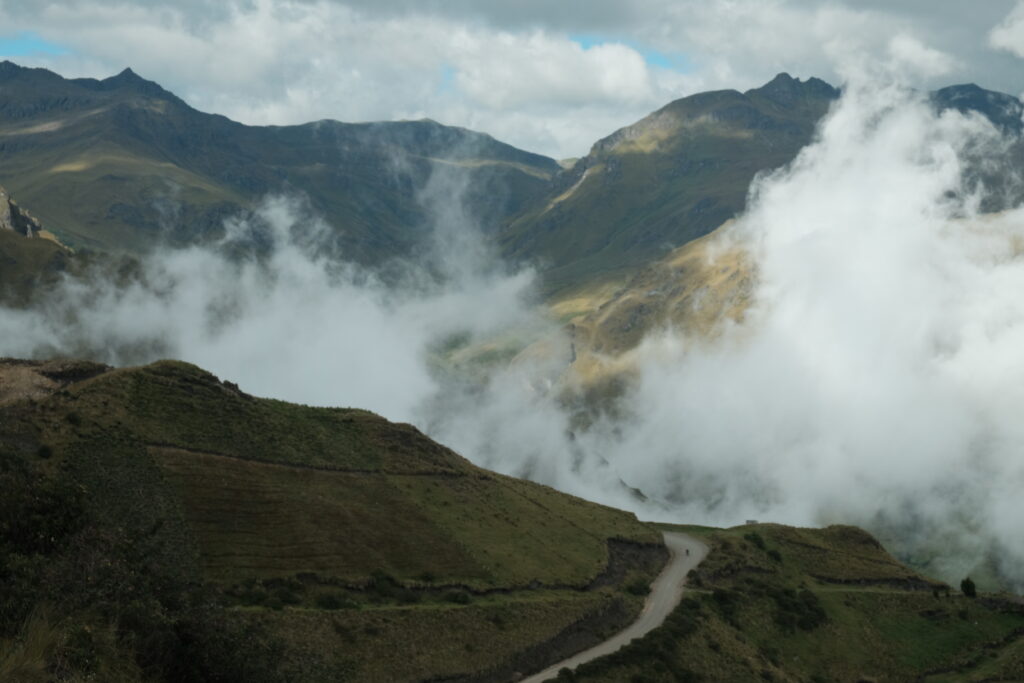
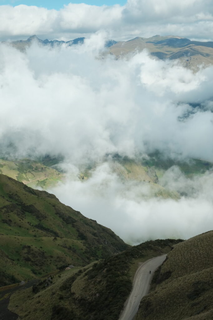
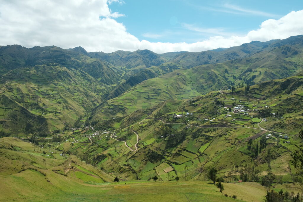
The TEMBR takes you out of Cotopaxi national park via the back door, along logging roads in various states of use and one very difficult to get around locked gate. We stopped in the highway town of Lasso for lunch, before crossing the Pan-American and entering a completely different landscape, the tussocky paramo of Cotopaxi replaced by steep hillsides covered in neat fields up to the very tops of the hills at 4000m.
We’d aimed to get to Isinlivi that night, making for a stout 70km day, especially factoring in the pre-dawn antics, so it was with some relief that we crested the final climb at 3800m and knew we just had 10km of descending to go. We were going to make it in the light, phew.
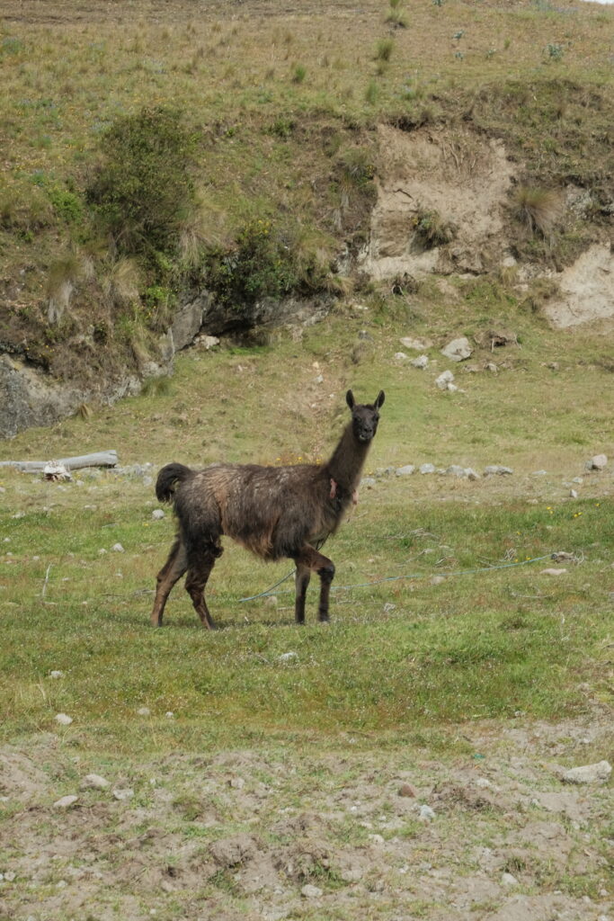
Pulling in to Isinlivi, it felt a bit like a ghost town; no one was about and everything looked shut. It was a surprise, then, to find that the first hotel we enquired at was fully booked! We’d clearly not properly factored in how popular the Quilatoa hiking loop was and how that would impact accommodation availability. The second hostel, Taita Cristobal, was also fully booked, but they would let us camp by the llamas in the garden and, best of all, we spied both Lani and Steve as well as Aurelia and Matthieu in living room as we walked past. Our little TEMBR gang was reunited! In the end, a late cancellation meant that we could upgrade to a room for only $5 per person extra, which seemed like a no-brainier given that El was struggling with back pain and there were a few tough days coming up.
The hostel was a funny place and it took us a while to get used to being in the presence of so many foreigners, most of them speaking English. We hadn’t felt this much like tourists since our stay in El Poblado in Medellin, Colombia, nearly 2 months ago! The contrast between the hubbub inside the hostel and the deadness in the village was stark and reinforced the feeling of being segregated from the local people, somehow “apart”. One of the great things about bike touring is that it feels like you interact with locals much more on their level, since by necessity you’re not carrying around many belongings and are often at the mercy of people’s generosity. Even if this is only an illusion, since back home your life is way more luxurious and comfortable than most people here can even imagine, there is still an authenticity to those interactions in the moment. Being in the hostel was a rude reminder that we are just foreign tourists after all! It was nice being able to have a conversation that lasted longer than a few sentences though…
We set off the following day with the aim of reaching the crater at Quilatoa.
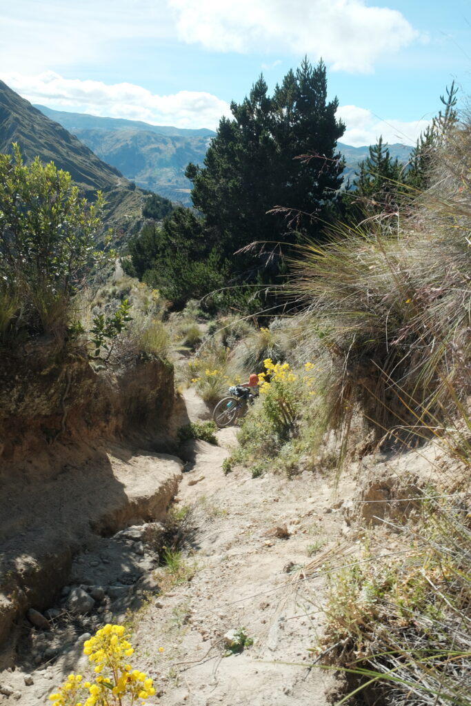
After a steep climb up from the river and quick lunch sheltering from the wind, it was time for the main difficulty of the day – the notorious hike-a-bike to the Quilatoa crater rim. This involved deviating off the TEMBR route and onto the more challenging Tres Volcanoes route, the payoff being, in theory, some sweet singletrack along high above the the lake below. It was a tough slog up a very dry river bed, the ground often collapsing beneath us with every step. We were both definitely wishing that we had less stuff with us…
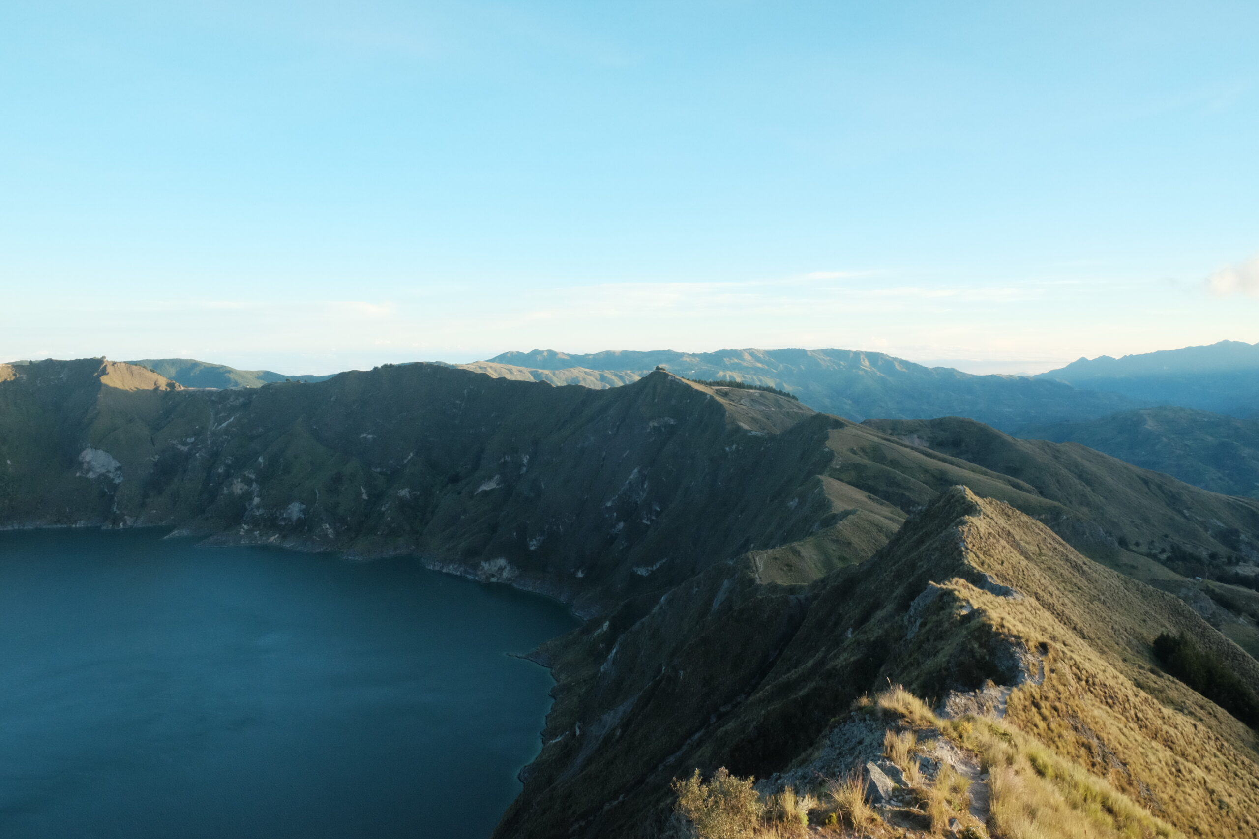
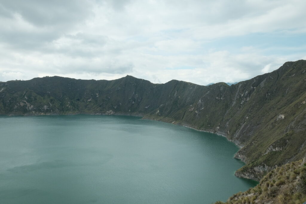
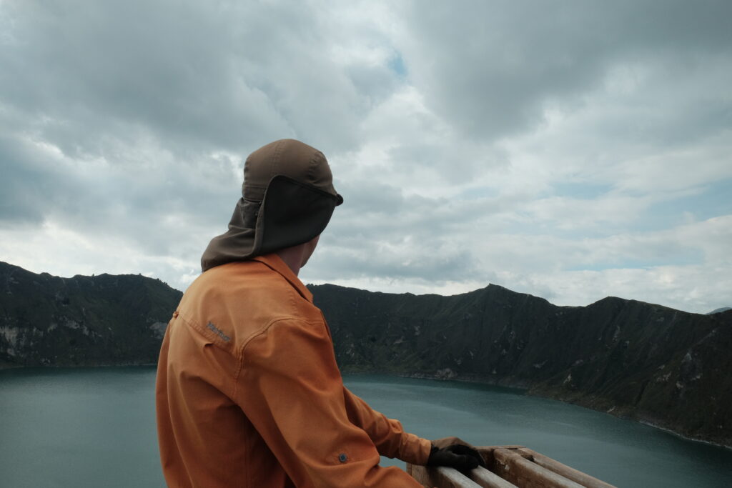
After just over an hour of pushing, we came across a more rideable track which took us into Shalala Community Centre, where we were immediately asked for $2 for passage. I’m still not 100% sure if this was legit, but we made the most of it and filled up with 6 litres of water for an expected dry camp. A few annoying steps later and there we were, looking out over this crater lake we’d read and seen so much about.
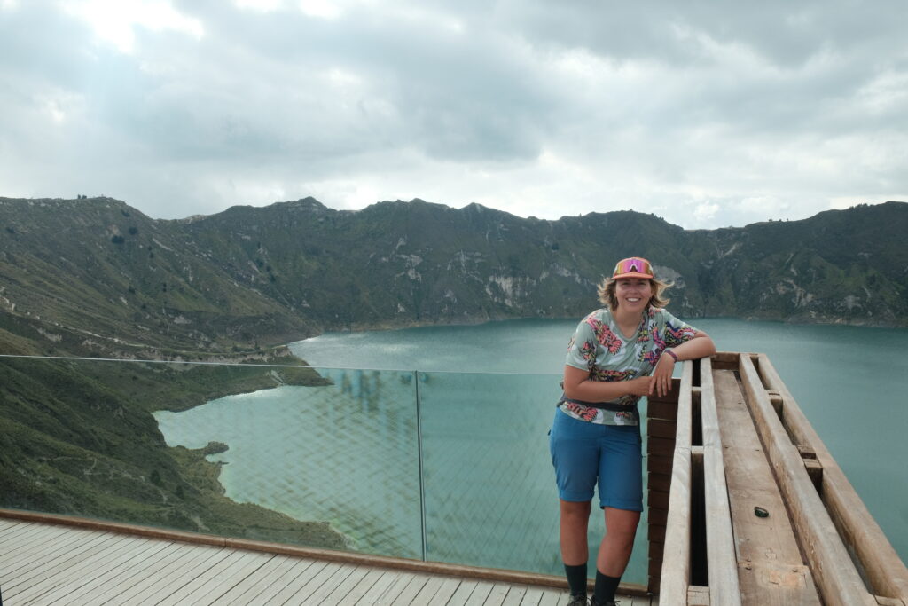
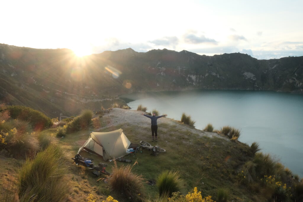
From the lookout, we pushed about a hundred metres anti-clockwise and found the perfect spot to camp: grassy, flatt-ish and protected from the wind as it was tucked in below the rim. We still weren’t sure if we were actually allowed to camp here, so spent a couple of hours reading in the sun before putting the tent up closer to sunset.

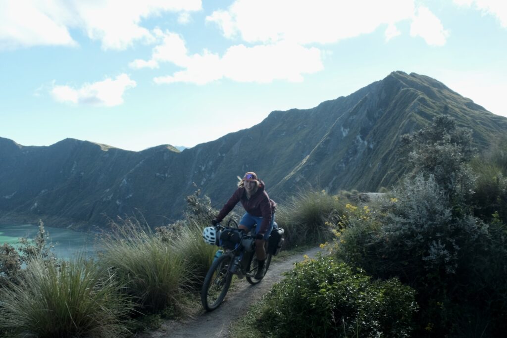
The following morning, we debated taking the dirt road back down through Shalala onto the TEMBR route, or continuing around the rim on the Tres Volcanos route. In the end, we chose the latter…and regretted it. It took us an hour to do 1.5km. The track was steep, severely eroded and completely devoid of any soil structure, such that our foot placements would simply collapse each time we tried to push the bike forwards. Unless you can, and want to, carry your bike on your shoulders, I wouldn’t recommend this section. The supposed “amazing singletrack” that the route guide promised turned out to be barely 100m, and is way more easily accessible from the tourist town at the southern end of the lake.
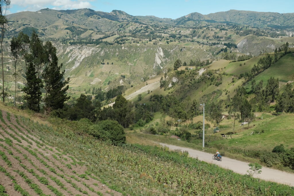
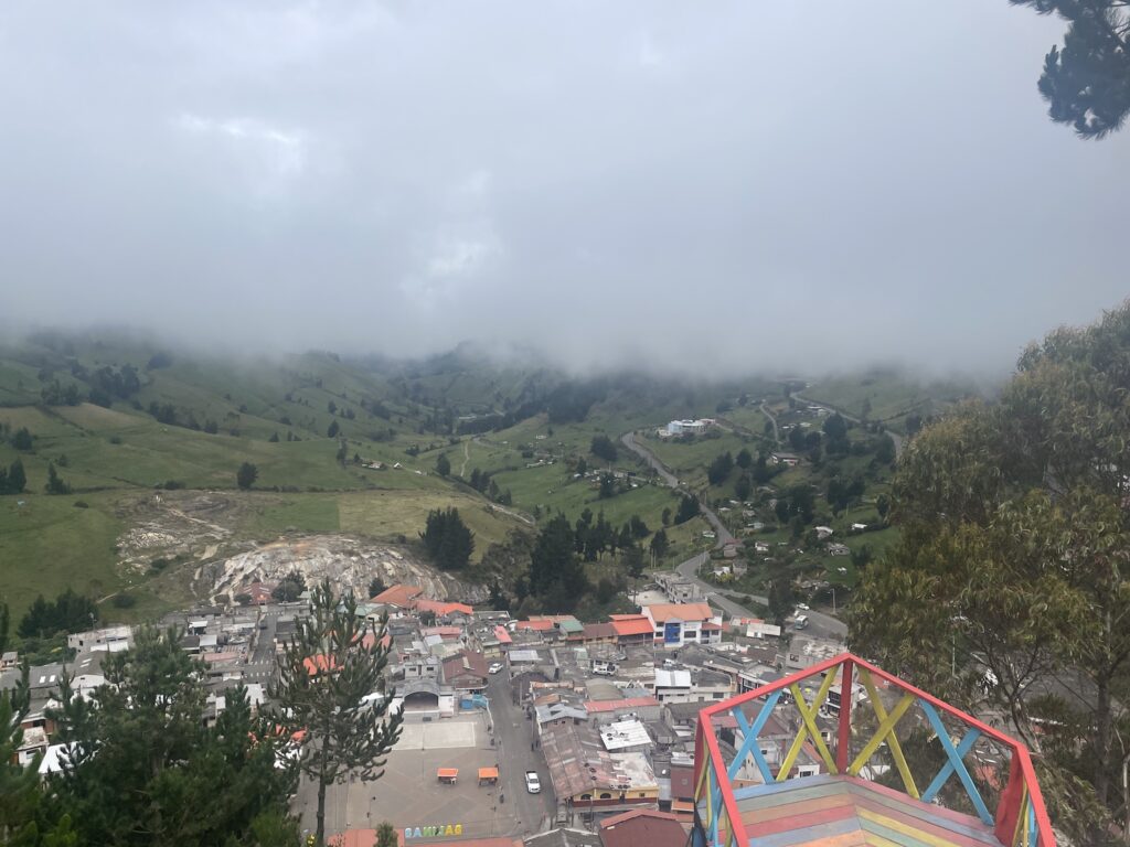
And at the end of all that pushing, the reward is…a tarmac descent down to Zimbahua. *Insert expletive here*. Sadly, we missed the famous market in town by a few days, but our spirits were lifted by a cheap bakery and bumping into Lani and Steve again. After saying our goodbyes (this would be the last time we would see them, so far anyway), we pedalled back up a winding tarmac road to over 4000m. We ate lunch sheltered in the lee of an abandoned house as the wind had reached gale force levels at this point, before taking on the incredible road to Angamarca.
It starts off with 5km of newly tarmaced road, before returning to gravel as it winds its way through the incredible landscape. Absolute dirt road touring gold.

From the last pass, it is a long, long descent down into Angamarca.
In town, we did the usual asking around for a place to stay, eventually getting pointed in the right direction by the third person we asked. For reference, it’s the blue building on your right as you enter the square! It’s funny how so many of the places we’ve stayed have no outward indication at all that they are hotels. It was a very basic place, but we got fed two decent meals (chicken, rice and chips for dinner, chicken and rice for breakfast) for $11 each, so not to bad really.
That big plate of rice and chicken for breakfast was definitely needed the following day as the climb out the other side of the valley is long and steep (the POI on the TEMBR route doesn’t lie); on reflection, this is probably the toughest single climb we’ve done so far. Neither of us were feeling too brilliant after yesterday’s pushing then battle with the wind, so we were well and truly on the struggle bus.
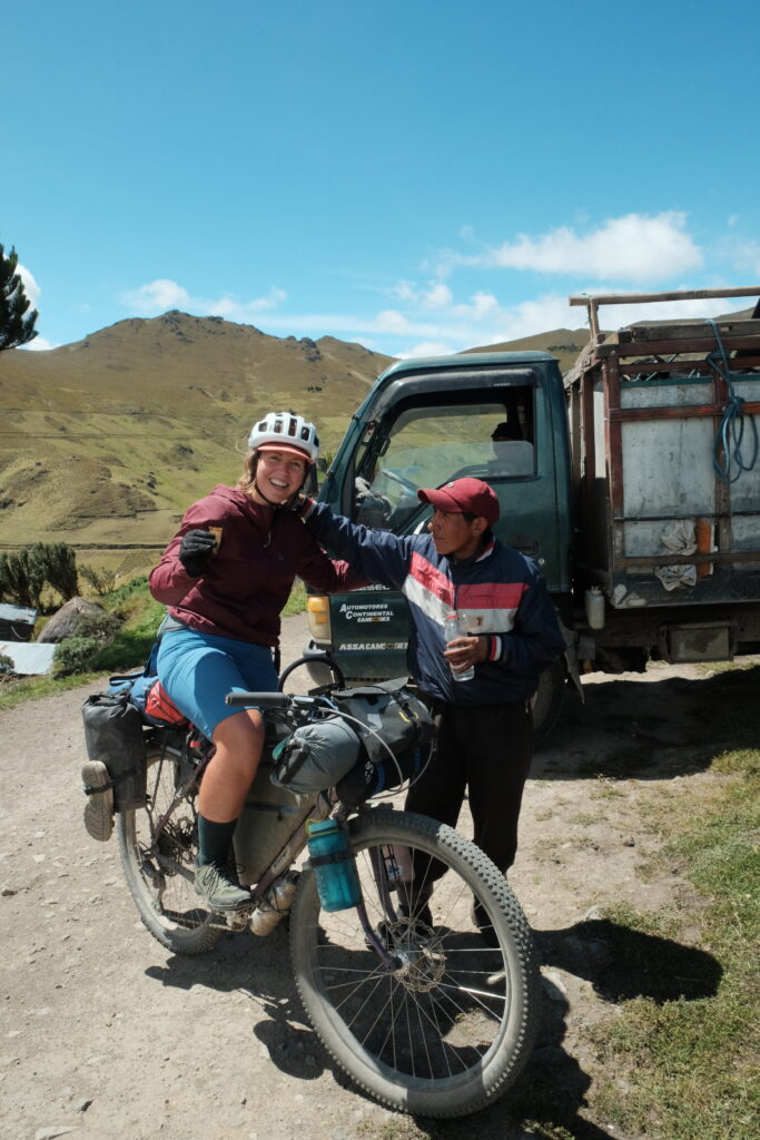
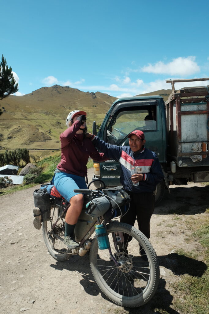
As we crested the hill around lunchtime, we came across this group of men sheltering under a grassy bank and using their truck parked across the road as a windshield. They called us over and before we knew it, we were being served shots of homebrew sugar cane spirit out of a piece of animal horn! 2 shots were called for, “para la fuerza”.
From the summit of that climb, we wound our way up and down, through pine plantations, in and out of the clouds, until camping at the very stop of the descent into the next town of Simiatug. We managed to find a spot sheltered somewhat by a bank of trees, but it was still a case of using every available guying point on our tent.
Our luck with the weather finally broke the following day as we donned rain jackets on the descent for the first time since Paramo Pinan, nearly 2 weeks ago! We’ve been incredibly lucky with the weather so far here in Ecuador. In Simiatug, we bumped into 3 more TEMBR riders – Niall, Lindsay and Walter – who were just setting off from their overnight stop, and found a restaurant for breakfast which served real coffee out of a mocha pot, shock horror! We watched out the window as the town square was getting set up for a two day music festival.
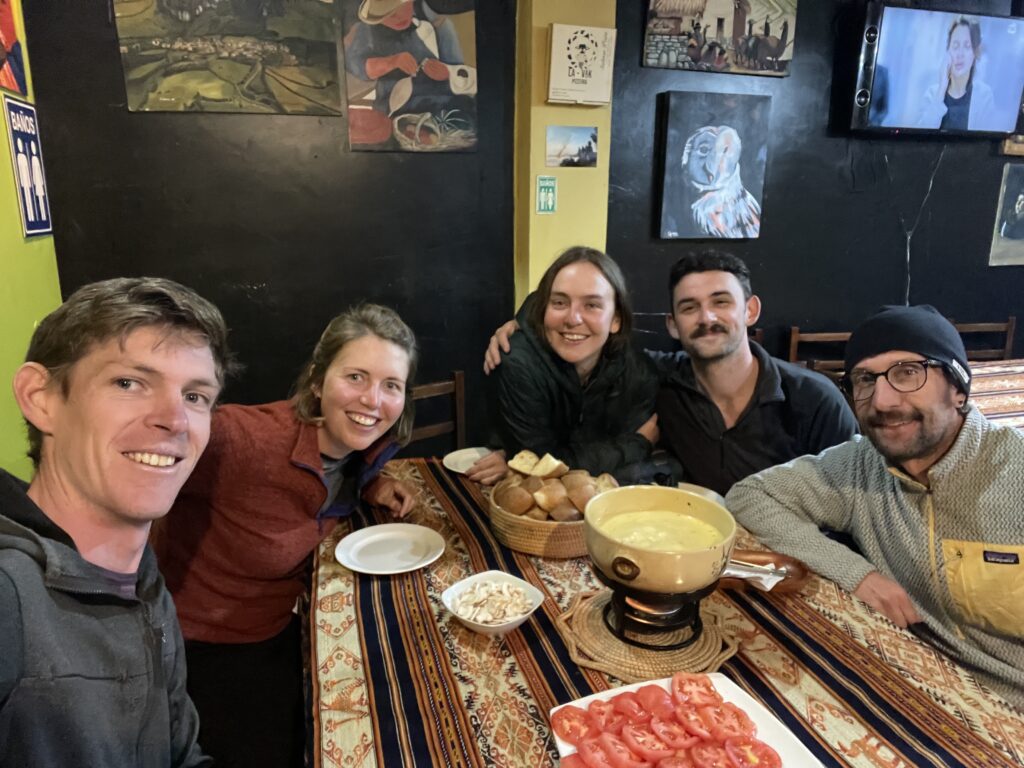
From Simiatug, it’s a relatively easy (as far as riding above 4000m is ever easy) up and over into the town of Salinas de Guaranda, where we took a rest day in the hostel with Niall, Lindsay and Walter. Salinas is a great little town to spend a day chilling out. It’s got a whole host of community owned manufacturing businesses – we visited the chocolate factory – and more pizzerias than you can shake a stick at! Something to do with an Italian missionary, I believe. There are so many nice treats to buy that I suppose it could get quite dangerous (read: expensive) if you stayed there longer. Highlights of our time there include: walking up the gorge behind town, sampling the local craft beer and a group cheese fondue on our second night!
That’s it for this update. Next up is Chimborazo and then onto Cuenca!